Transport Functions
Rail
Road
Hub Profile
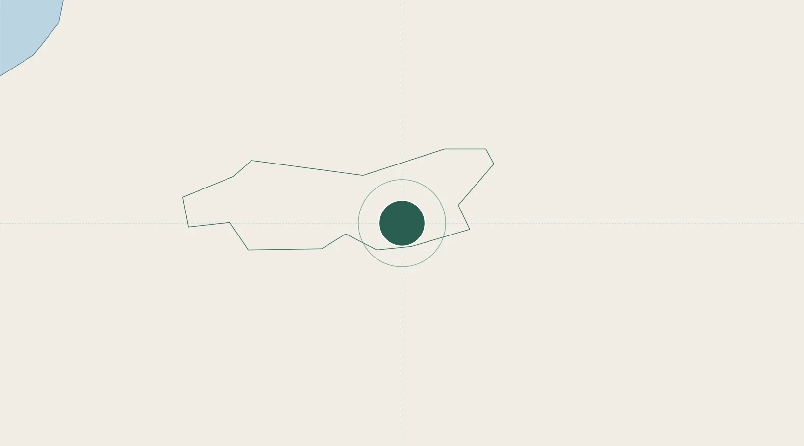
Place type
Populated place
Region
Sigulda Municipality
Population
2,028
Time zone
Europe/Riga
Elevation
55 m
Location
Nearby Logistics Neighbours
Ports
- 1Riga39 km
- 2Salacgriva71 km
- 3Parnu145 km
- 4Virtsu180 km
- 5Roomassaare181 km
Airports
- 1Riga International Airport48 km
- 2Jūrmala Airport91 km
- 3Jēkabpils Air Base95 km
- 4Ruhnu Airfield116 km
- 5Barysiai Airfield133 km
Trade Zones
- 1Free Port of Riga39 km
- 2Akmenė Free Economic Zone152 km
- 3ō iauliai Free Economic Zone155 km
- 4Latgale SEZ175 km
- 5Rēzekne SEZ175 km
DatabookThe Record of Consolidated Knowledge
Latvia beyond logistics?