UN/LOCODE hub · Luxembourg
LUBSM
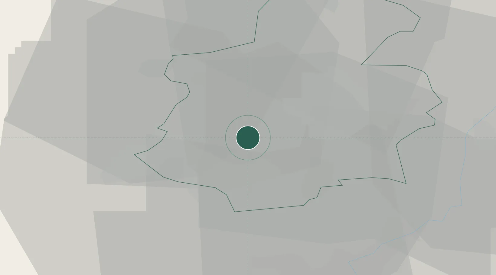
Bettange-sur-Mess
49.5667°, 5.9833°
1,385
Population
1
Transport functions
Transport Functions
Multimodal
Hub Profile
Place type
Populated place
Region
Capellen
Population
1,385
Time zone
Europe/Luxembourg
Elevation
322 m
Location
Nearby Logistics Neighbours
Cities
- 1Ehlerange6 km
- 2Esch-sur-Alzette7 km
- 3Pétange7 km
- 4Mamer8 km
- 5Niederkorn8 km
Airports
Trade Zones
- 1Luxembourg Free Port19 km
- 2ZFU Woippy-Metz48 km
- 3ZFU Metz53 km
- 4ZFU La Cité Behren-lès-Forbach82 km
- 5ZFU Ronde Couture93 km
DatabookThe Record of Consolidated Knowledge
Luxembourg beyond logistics?