Transport Functions
Rail
Road
Multimodal
Hub Profile
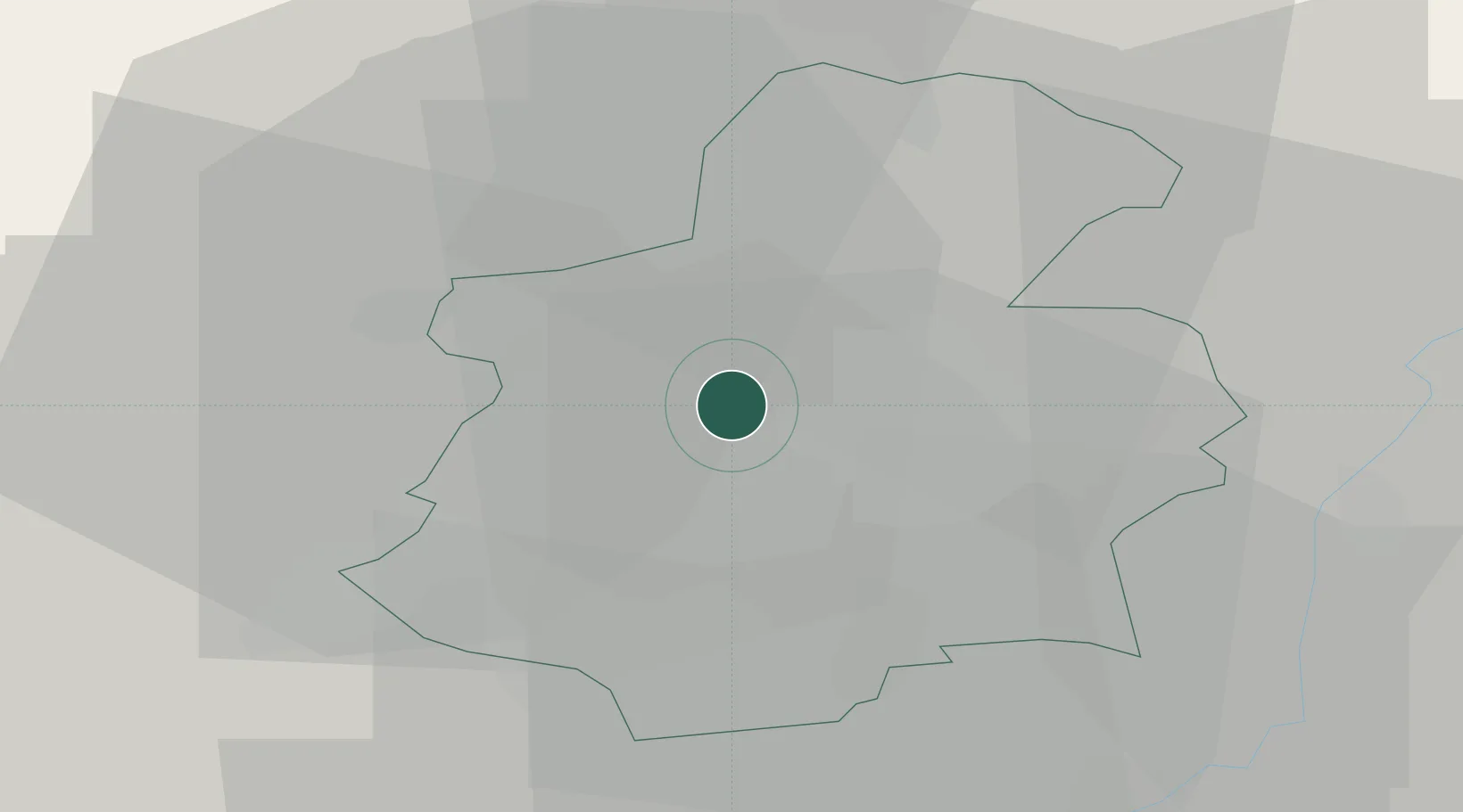
Place type
District seat
Region
Capellen
Population
5,017
Time zone
Europe/Luxembourg
Elevation
294 m
Location
Nearby Logistics Neighbours
Cities
- 1Bettange-sur-Mess8 km
- 2Dommeldange9 km
- 3Howald10 km
- 4Lorentzweiler11 km
- 5Lintgen12 km
Airports
Trade Zones
- 1Luxembourg Free Port15 km
- 2ZFU Woippy-Metz55 km
- 3ZFU Metz60 km
- 4ZFU La Cité Behren-lès-Forbach84 km
- 5ZFU Ronde Couture94 km
DatabookThe Record of Consolidated Knowledge
Luxembourg beyond logistics?