Transport Functions
Multimodal
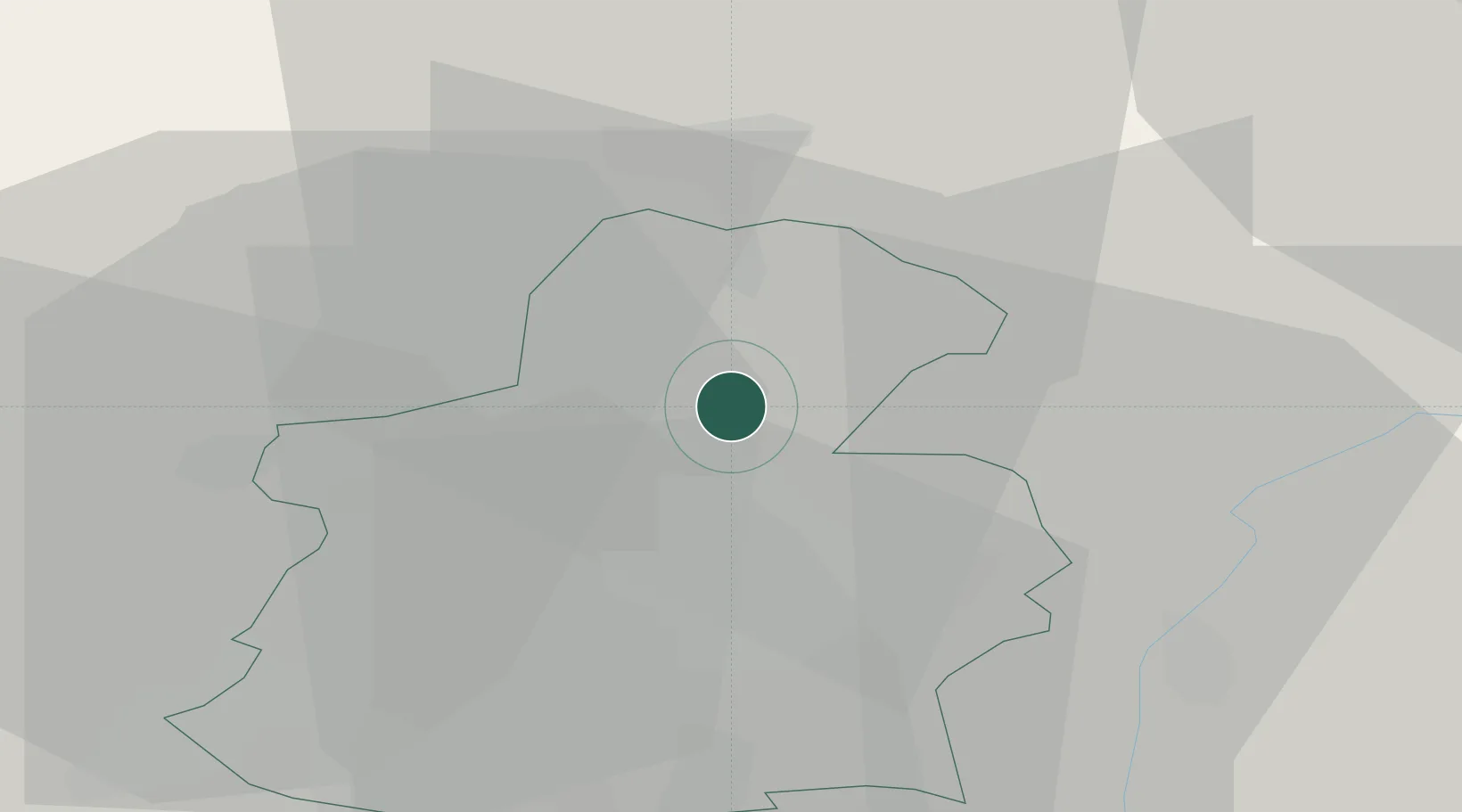
Hub Profile
Place type
District seat
Region
Mersch
Population
1,752
Time zone
Europe/Luxembourg
Elevation
230 m
Location
Nearby Logistics Neighbours
Cities
- 1Lorentzweiler2 km
- 2Colmar10 km
- 3Dommeldange11 km
- 4Mamer12 km
- 5Findel13 km
Airports
Trade Zones
- 1Luxembourg Free Port12 km
- 2ZFU Woippy-Metz63 km
- 3ZFU Metz68 km
- 4ZFU La Cité Behren-lès-Forbach85 km
- 5ZFU Ronde Couture101 km
DatabookThe Record of Consolidated Knowledge
Luxembourg beyond logistics?