Transport Functions
Multimodal
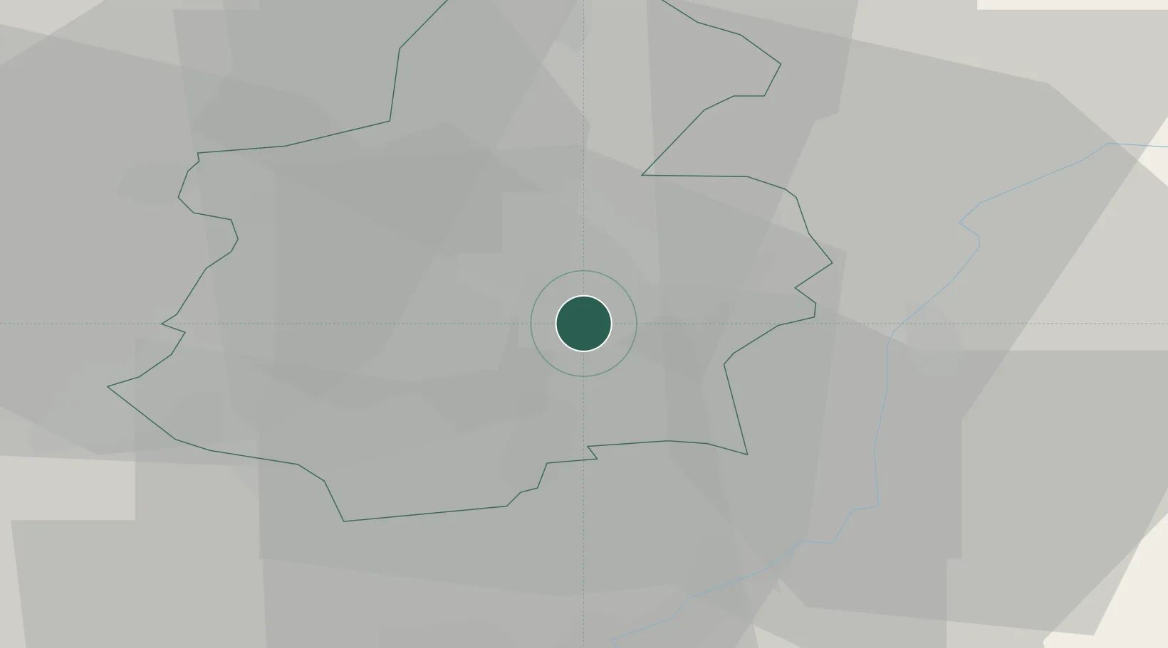
Hub Profile
Place type
Populated place
Region
Luxembourg
Population
5,815
Time zone
Europe/Luxembourg
Elevation
296 m
Location
Nearby Logistics Neighbours
Cities
- 1Hesperange2 km
- 2Dommeldange4 km
- 3Fentange4 km
- 4Crauthem6 km
- 5Findel6 km
Airports
Trade Zones
- 1Luxembourg Free Port9 km
- 2ZFU Woippy-Metz48 km
- 3ZFU Metz53 km
- 4ZFU La Cité Behren-lès-Forbach74 km
- 5ZFU Maxéville, Laxou, et de Nancy97 km
DatabookThe Record of Consolidated Knowledge
Luxembourg beyond logistics?