Transport Functions
Multimodal
Hub Profile
Place type
Urban district
Region
Luxembourg
Population
3,012
Time zone
Europe/Luxembourg
Elevation
238 m
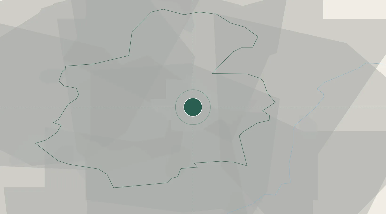
Location
Nearby Logistics Neighbours
Cities
- 1Howald4 km
- 2Findel5 km
- 3Hesperange6 km
- 4Fentange8 km
- 5Mamer9 km
Airports
Trade Zones
- 1Luxembourg Free Port7 km
- 2ZFU Woippy-Metz52 km
- 3ZFU Metz57 km
- 4ZFU La Cité Behren-lès-Forbach76 km
- 5ZFU Maxéville, Laxou, et de Nancy101 km
DatabookThe Record of Consolidated Knowledge
Luxembourg beyond logistics?