Transport Functions
Road
Multimodal
Hub Profile
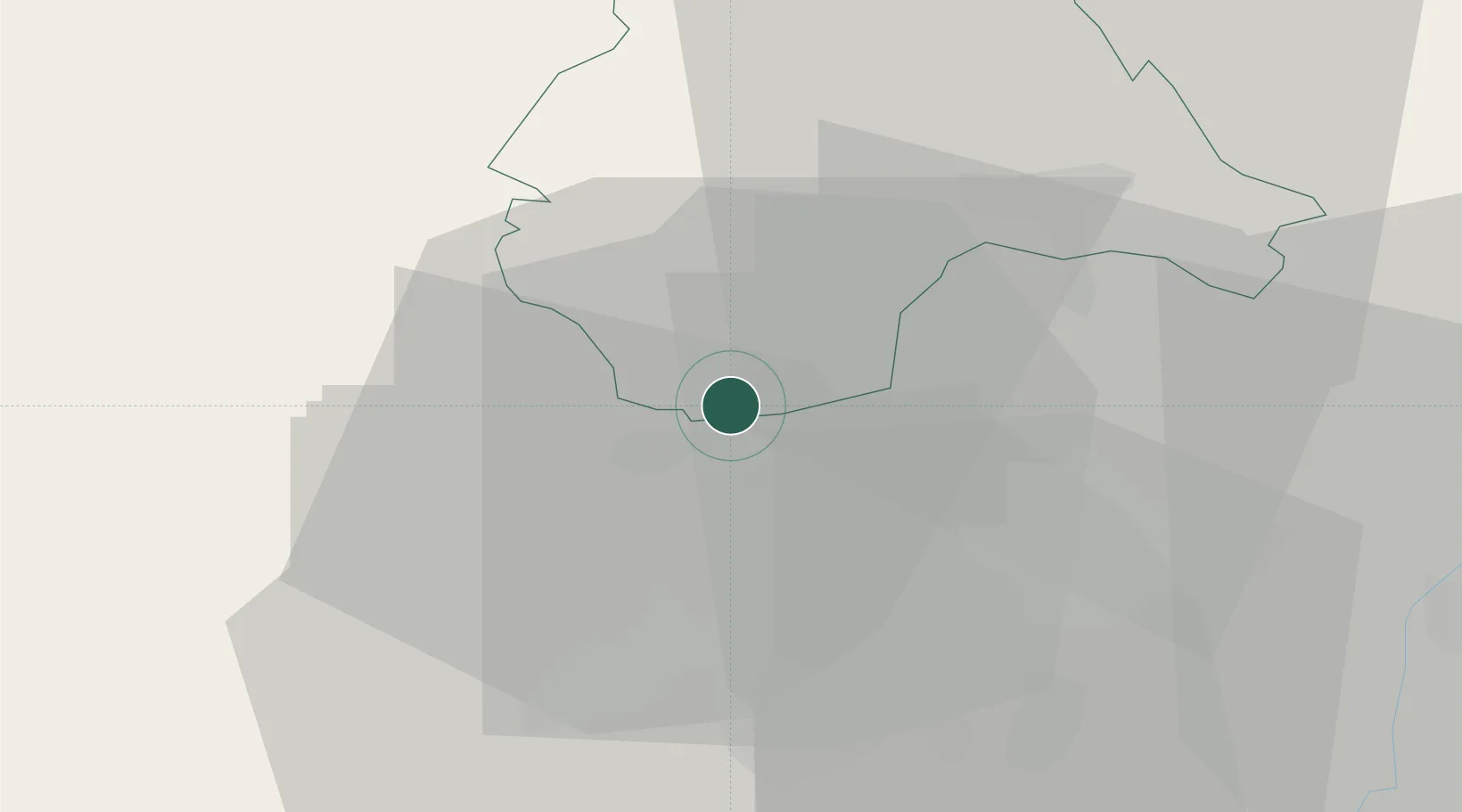
Place type
District seat
Region
Redange
Population
672
Time zone
Europe/Luxembourg
Elevation
300 m
Location
Nearby Logistics Neighbours
Cities
- 1Mamer13 km
- 2Lintgen17 km
- 3Colmar17 km
- 4Athus18 km
- 5Lorentzweiler18 km
Airports
Trade Zones
- 1Luxembourg Free Port26 km
- 2ZFU Woippy-Metz66 km
- 3ZFU Metz71 km
- 4ZFU Ronde Couture84 km
- 5ZFU La Cité Behren-lès-Forbach97 km
DatabookThe Record of Consolidated Knowledge
Luxembourg beyond logistics?