UN/LOCODE hub · Luxembourg
LUEZT
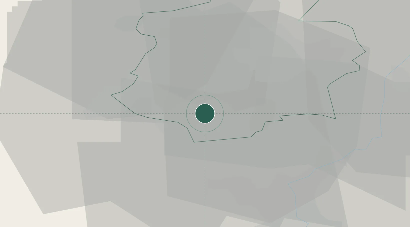
Esch-sur-Alzette
49.5000°, 5.9833°
36,625
Population
2
Transport functions
Transport Functions
Port
Road
Hub Profile
Place type
Provincial seat
Region
Esch-sur-Alzette
Population
36,625
Time zone
Europe/Luxembourg
Elevation
295 m
Location
Nearby Logistics Neighbours
Cities
- 1Ehlerange3 km
- 2Kayl4 km
- 3Audun-le-Tiche4 km
- 4Bettange-sur-Mess7 km
- 5Niederkorn8 km
Airports
Trade Zones
- 1Luxembourg Free Port23 km
- 2ZFU Woippy-Metz41 km
- 3ZFU Metz46 km
- 4ZFU La Cité Behren-lès-Forbach78 km
- 5ZFU Maxéville, Laxou, et de Nancy89 km
DatabookThe Record of Consolidated Knowledge
Luxembourg beyond logistics?