Transport Functions
Rail
Road
Hub Profile
Place type
Regional capital
Region
Līvāni
Population
6,790
Time zone
Europe/Riga
Elevation
92 m
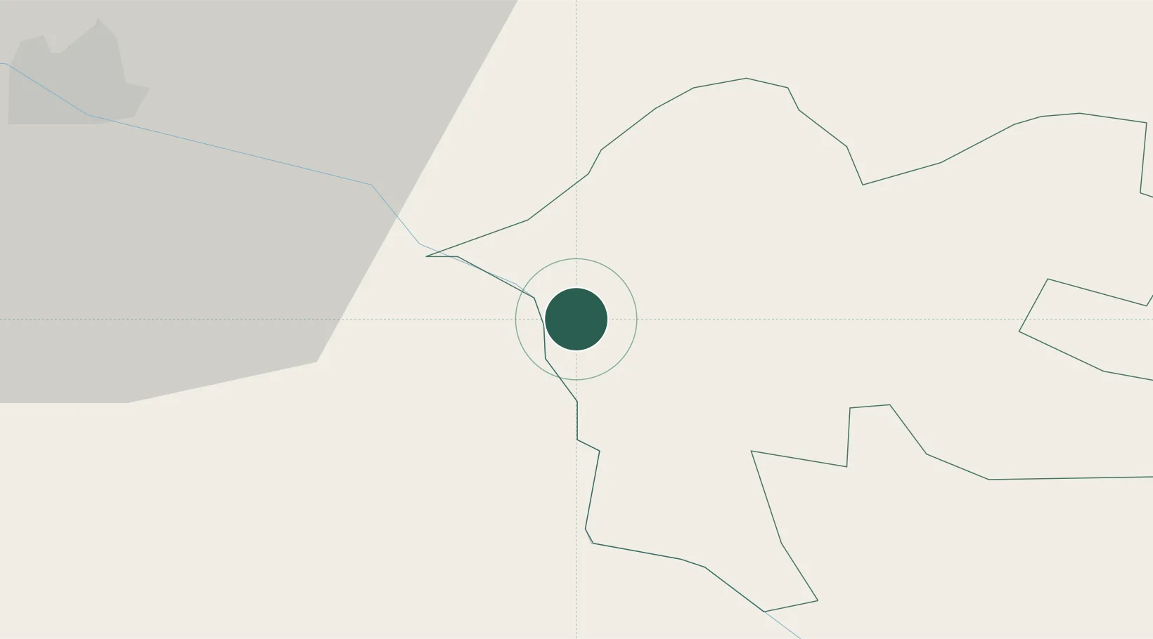
Location
Nearby Logistics Neighbours
Ports
- 1Riga143 km
- 2Salacgriva185 km
- 3Parnu246 km
- 4Kunda352 km
- 5Sillamae352 km
Airports
- 1Jēkabpils Air Base26 km
- 2Daugavpils International Airport56 km
- 3Panevėžys Air Base128 km
- 4Riga International Airport149 km
- 5Barysiai Airfield166 km
Trade Zones
- 1Rēzekne SEZ63 km
- 2Latgale SEZ63 km
- 3Free Port of Riga143 km
- 4Panevėžys Free Economic Zone162 km
- 5ō iauliai Free Economic Zone182 km
DatabookThe Record of Consolidated Knowledge
Latvia beyond logistics?