Medium airport · Latvia
Daugavpils International AirportLV-8040
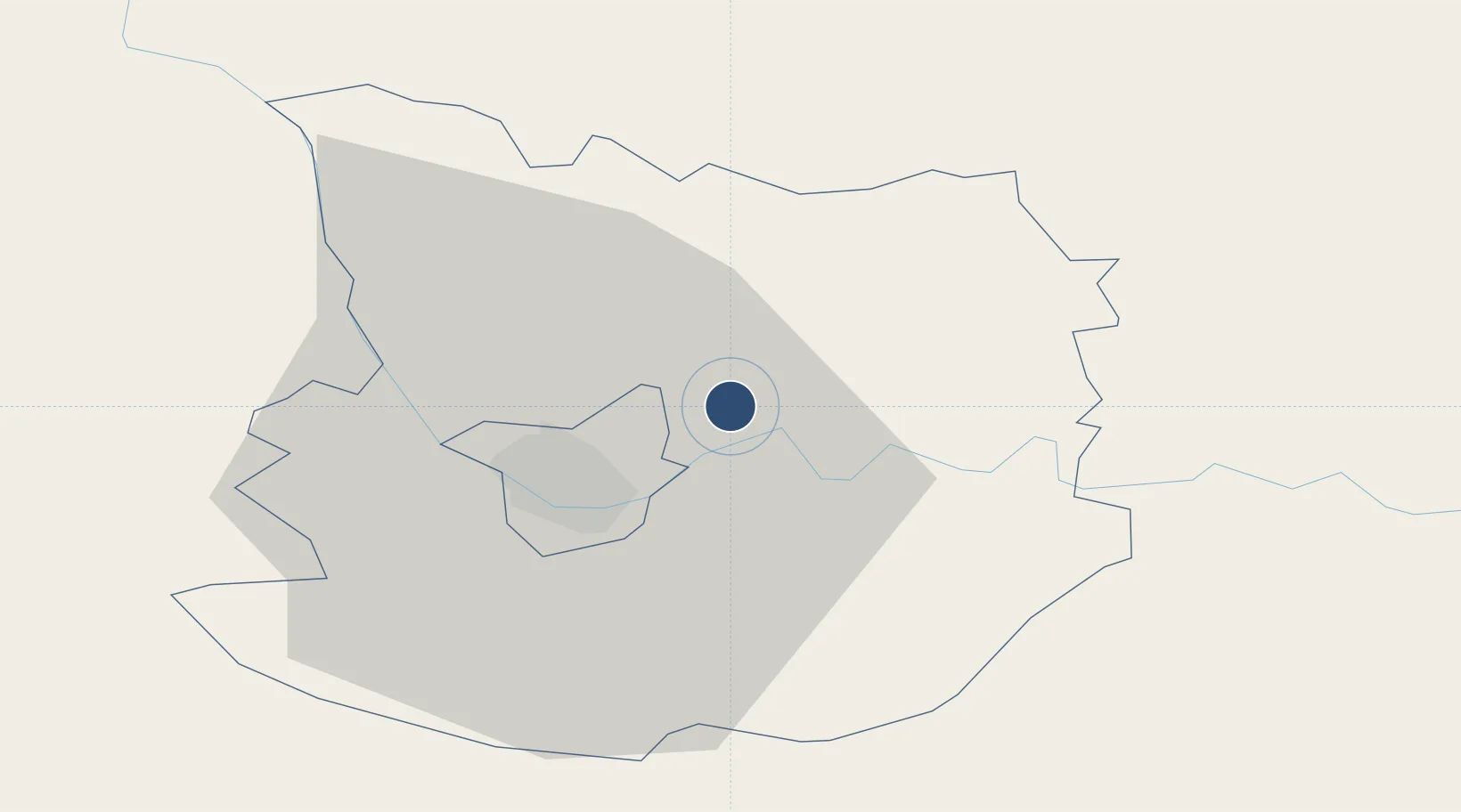
55.9447°, 26.6650°
8,202 ft
Longest runway
1
Runways
398 ft
Elevation
Runway & Layout

Runways · 1
| Runway | Dimensions | Surface | True heading | Lit |
|---|---|---|---|---|
| 02/20 | 8,202 × 148ft | Concrete | — | ✓ |
Airport Specifications
IATA code
DGP
ICAO code
EVDA
Airport class
Medium airport
Scheduled service
No
Runway surface
Concrete
Served city
Daugavpils
Location
Nearby Logistics Neighbours
Airports
- 1Jēkabpils Air Base81 km
- 2Panevėžys Air Base140 km
- 3Vilnius International Airport170 km
- 4Jonava Air Base178 km
- 5Kėdainiai Air Base184 km
Cities
- 1Daugavpils11 km
- 2Livani56 km
- 3Akniste62 km
- 4Rokiskis67 km
- 5Jekabpils78 km
Ports
- 1Riga193 km
- 2Salacgriva240 km
- 3Parnu301 km
- 4Virtsu349 km
- 5Roomassaare356 km
Trade Zones
- 1Rēzekne SEZ52 km
- 2Latgale SEZ52 km
- 3Panevėžys Free Economic Zone166 km
- 4Kėdainiai Free Economic Zone184 km
- 5Free Port of Riga194 km
DatabookThe Record of Consolidated Knowledge
Latvia beyond logistics?