Large airport · Sri Lanka

Bandaranaike International Colombo AirportVCBI
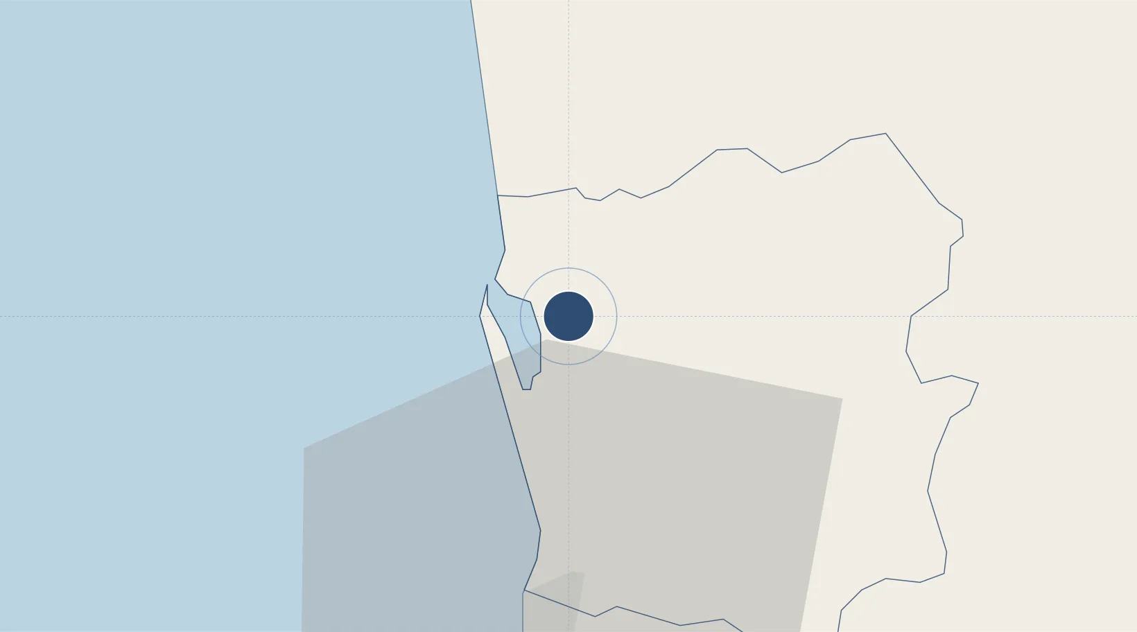
7.1808°, 79.8841°
10,991 ft
Longest runway
1
Runways
30 ft
Elevation

Runway & Layout

Bandaranaike International Colombo Airport runway & taxiway layout
Runway & taxiway layout — OpenStreetMap (ODbL) / OurAirports

Radio Frequencies

ATIS
127.2 MHz
TWR
118.7 MHz
COLOMBO TWR
GND
121.9 MHz
COLOMBO GND
APP
120.9 MHz
COLOMBO APP
OurAirports

Navaids

CNL NDB Bandaranaike 315 kHz
KAT VOR-DME Bandaranaike 112.70 MHz
OurAirports

Runways · 1

RunwayDimensions SurfaceTrue headingLit
04/22 10,991 × 148ft Asphalt 037°
OurAirports

Airport Specifications

IATA code
CMB
OurAirports
ICAO code
VCBI
OurAirports
Airport class
Large airport
OurAirports
Scheduled service
Yes
OurAirports
Runway surface
Asphalt
OurAirports
Served city
Colombo
OurAirports

Location

Location of VCBI
Natural Earth 10m (public domain) · Gampaha · VCBI · 7.18, 79.88GoogleOSMYandex

Nearby Logistics Neighbours

Airports
  1. 1Diyawanna Oya Seaplane Base31 km
  2. 2Colombo Ratmalana International Airport40 km
  3. 3Bentota River Waterdrome84 km
  4. 4Polgolla Reservoir Seaplane Base85 km
  5. 5Anuradhapura Airport138 km
Nearest neighbours — logibook spatial index (haversine) over the source coordinates
Cities
  1. 1Andiambalama2 km
  2. 2Dambadure7 km
  3. 3Kotugoda8 km
  4. 4Porutota10 km
  5. 5Ganemulla15 km
Nearest neighbours — logibook spatial index (haversine) over the source coordinates
Ports
  1. 1Colombo26 km
  2. 2Galle Harbor133 km
  3. 3Hambantota182 km
  4. 4Trincomalee Harbor212 km
  5. 5Tuticorin261 km
Nearest neighbours — logibook spatial index (haversine) over the source coordinates
Trade Zones
  1. 1Katunayake Export Processing Zone2 km
  2. 2Gampaha - Ekala Industrial Estate9 km
  3. 3Kurunegala - Pannala Industrial Estate18 km
  4. 4Malwatte Export Processing Zone23 km
  5. 5Wathupitiwala Export Processing Zone25 km
Nearest neighbours — logibook spatial index (haversine) over the source coordinates
DatabookThe Record of Consolidated Knowledge
Sri Lanka beyond logistics?
Browse databook

All Sources

AirportsOurAirports
Public domain
Portsthe NGA World Port Index
Public domain (US gov)
LocationsUN/LOCODE
UN/LOCODE — free
Trade Zonesthe World Bank SEZ database
CC BY 4.0
Trade ZonesOpen Zone Map
CC BY
InfrastructureOpenStreetMap
ODbL 1.0
← Sri Lanka airports