Transport Functions
Multimodal
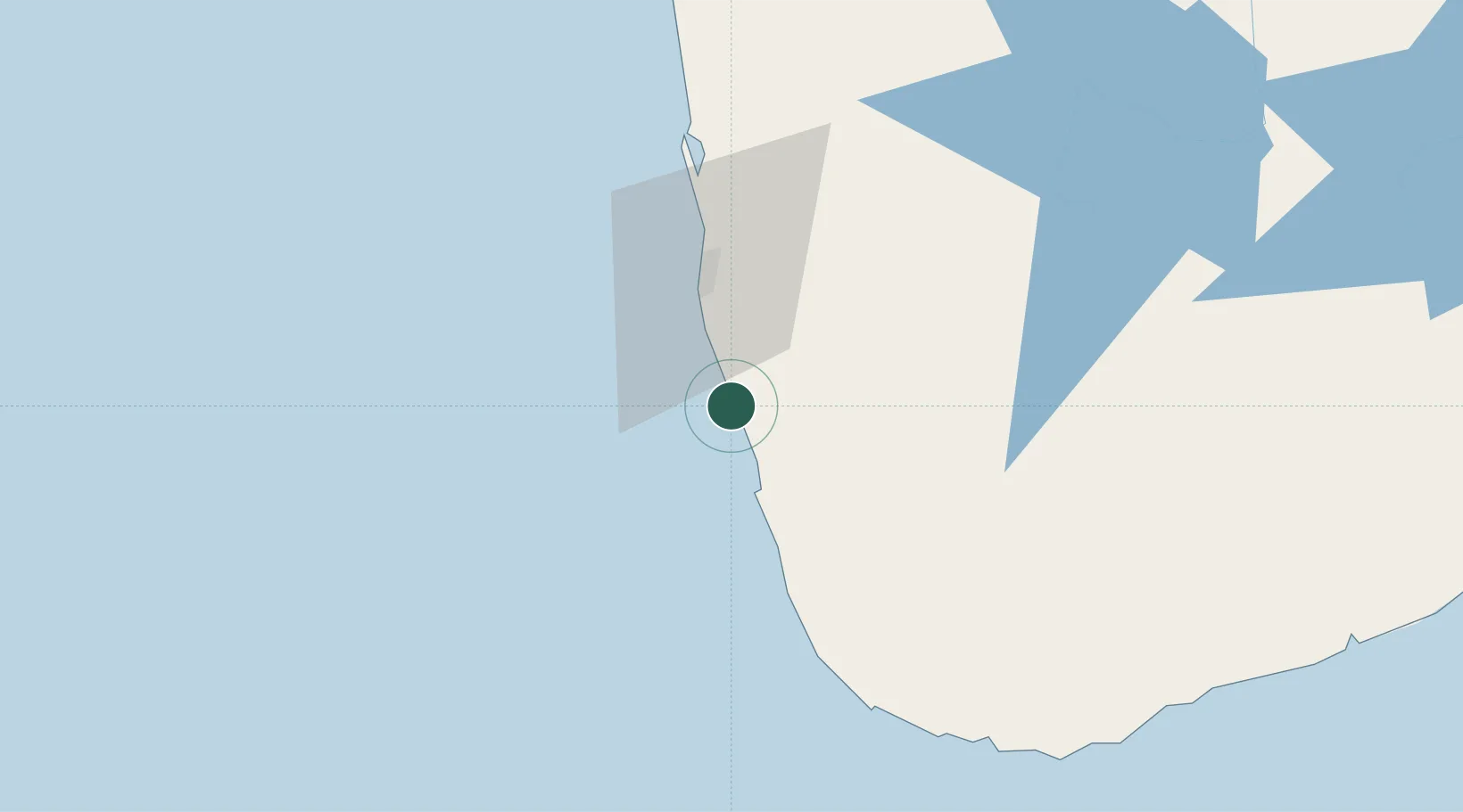
Location
Nearby Logistics Neighbours
Cities
- 1Hirana9 km
- 2Kehelwatta11 km
- 3Gorakana13 km
- 4Rawatawatta15 km
- 5Neboda19 km
Ports
- 1Colombo34 km
- 2Galle Harbor77 km
- 3Hambantota147 km
- 4Trincomalee Harbor255 km
- 5Tuticorin307 km
Airports
Trade Zones
DatabookThe Record of Consolidated Knowledge
Sri Lanka beyond logistics?