Seaplane base · Sri Lanka

Diyawanna Oya Seaplane BaseDWO

6.9066°, 79.9090°
10 ft
Elevation

Runway & Layout

Diyawanna Oya Seaplane Base runway & taxiway layout
Runway & taxiway layout — OpenStreetMap (ODbL) / OurAirports

Airport Specifications

IATA code
DWO
OurAirports
Airport class
Seaplane base
OurAirports
Scheduled service
Yes
OurAirports
Served city
Sri Jayawardenepura Kotte
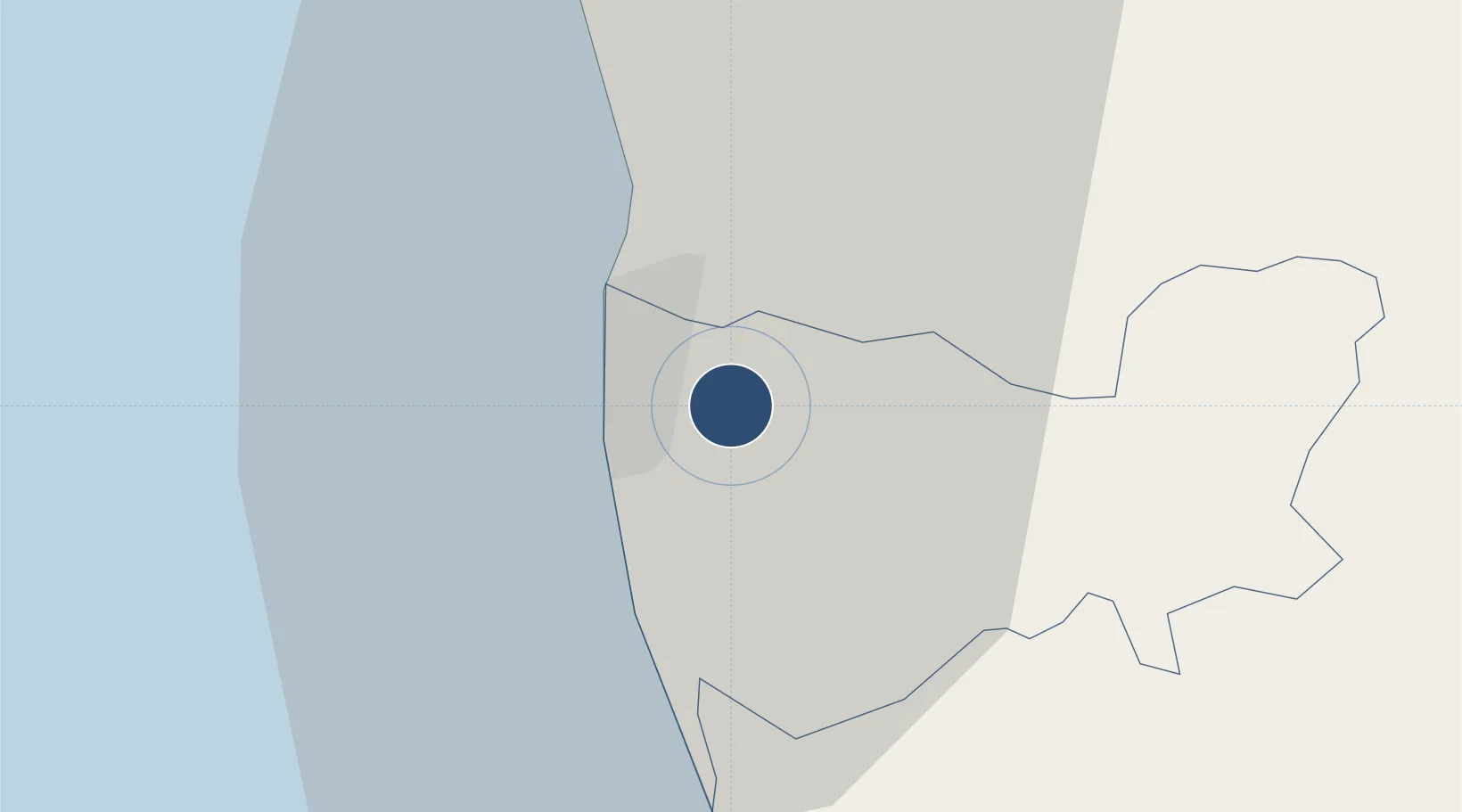
OurAirports

Location

Location of DWO
Natural Earth 10m (public domain) · Kŏḷamba · DWO · 6.91, 79.91GoogleOSMYandex

Nearby Logistics Neighbours

Airports
  1. 1Colombo Ratmalana International Airport10 km
  2. 2Bandaranaike International Colombo Airport31 km
  3. 3Bentota River Waterdrome54 km
  4. 4Polgolla Reservoir Seaplane Base93 km
  5. 5Koggala Airport111 km
Nearest neighbours — logibook spatial index (haversine) over the source coordinates
Cities
  1. 1Pita Kotte3 km
  2. 2Orugodawatte6 km
  3. 3Kelaniya6 km
  4. 4Pannipitiya8 km
  5. 5Makola8 km
Nearest neighbours — logibook spatial index (haversine) over the source coordinates
Ports
  1. 1Colombo8 km
  2. 2Galle Harbor103 km
  3. 3Hambantota161 km
  4. 4Trincomalee Harbor233 km
  5. 5Tuticorin285 km
Nearest neighbours — logibook spatial index (haversine) over the source coordinates
Trade Zones
  1. 1Orion City IT Park5 km
  2. 2Colombo Port City9 km
  3. 3Lk Rubber Industrial City Hub11 km
  4. 4Biyagama Export Processing Zone12 km
  5. 5Colombo - Panaluwa Industrial Estate18 km
Nearest neighbours — logibook spatial index (haversine) over the source coordinates
DatabookThe Record of Consolidated Knowledge
Sri Lanka beyond logistics?
Browse databook

All Sources

AirportsOurAirports
Public domain
Portsthe NGA World Port Index
Public domain (US gov)
LocationsUN/LOCODE
UN/LOCODE — free
Trade Zonesthe World Bank SEZ database
CC BY 4.0
Trade ZonesOpen Zone Map
CC BY
InfrastructureOpenStreetMap
ODbL 1.0
← Sri Lanka airports