Large airport · Türkiye

Adana Şakirpaşa AirportLTAF
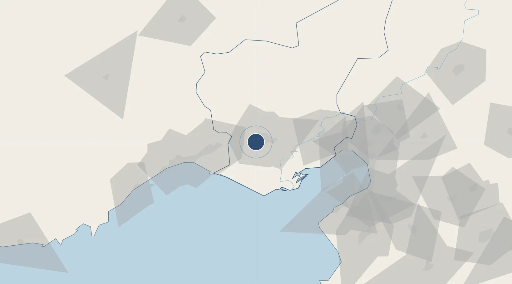
36.9822°, 35.2804°
9,022 ft
Longest runway
1
Runways
65 ft
Elevation

Runway & Layout

Adana Şakirpaşa Airport runway & taxiway layout
Runway & taxiway layout — OpenStreetMap (ODbL) / OurAirports

Radio Frequencies

ATIS
119.225 MHz
TWR
121.1 MHz
GND
121.9 MHz
APP
126.5 MHz
INCIRLIK APP
OurAirports

Navaids

ADA VOR-DME Adana 112.70 MHz
ADA NDB Adana 395 kHz
OurAirports

Runways · 1

RunwayDimensions SurfaceTrue headingLit
05/23 9,022 × 148ft Asphalt 054°
OurAirports

Airport Specifications

IATA code
ADA
OurAirports
ICAO code
LTAF
OurAirports
Airport class
Large airport
OurAirports
Scheduled service
Yes
OurAirports
Runway surface
Asphalt
OurAirports
Served city
Seyhan
OurAirports

Location

Location of LTAF
Natural Earth 10m (public domain) · Adana · LTAF · 36.98, 35.28GoogleOSMYandex

Nearby Logistics Neighbours

Airports
  1. 1İncirlik Air Base13 km
  2. 2Çukurova International Airport21 km
  3. 3Hatay Airport113 km
  4. 4Kahramanmaraş Airport161 km
  5. 5Latakia International Airport186 km
Nearest neighbours — logibook spatial index (haversine) over the source coordinates
Cities
  1. 1Adana28 km
  2. 2Karatas49 km
  3. 3Mersin49 km
  4. 4Kazanli50 km
  5. 5Yumurtalik51 km
Nearest neighbours — logibook spatial index (haversine) over the source coordinates
Ports
  1. 1Botas59 km
  2. 2Mersin61 km
  3. 3Toros Gubre61 km
  4. 4Yakacik86 km
  5. 5Iskenderun90 km
Nearest neighbours — logibook spatial index (haversine) over the source coordinates
Trade Zones
  1. 1Adana Haci Sabanci Organized Industrial Zone29 km
  2. 2Mersin Tarsus Organized Industrial Zone52 km
  3. 3Mersin Free Zone58 km
  4. 4Adana Yumurtalik Free Zone66 km
  5. 5Osmaniye Organized Industrial Zone73 km
Nearest neighbours — logibook spatial index (haversine) over the source coordinates
DatabookThe Record of Consolidated Knowledge
Türkiye beyond logistics?
Browse databook

All Sources

AirportsOurAirports
Public domain
Portsthe NGA World Port Index
Public domain (US gov)
LocationsUN/LOCODE
UN/LOCODE — free
Trade Zonesthe World Bank SEZ database
CC BY 4.0
Trade ZonesOpen Zone Map
CC BY
InfrastructureOpenStreetMap
ODbL 1.0
← Türkiye airports