Transport Functions
Port
Multimodal
Hub Profile
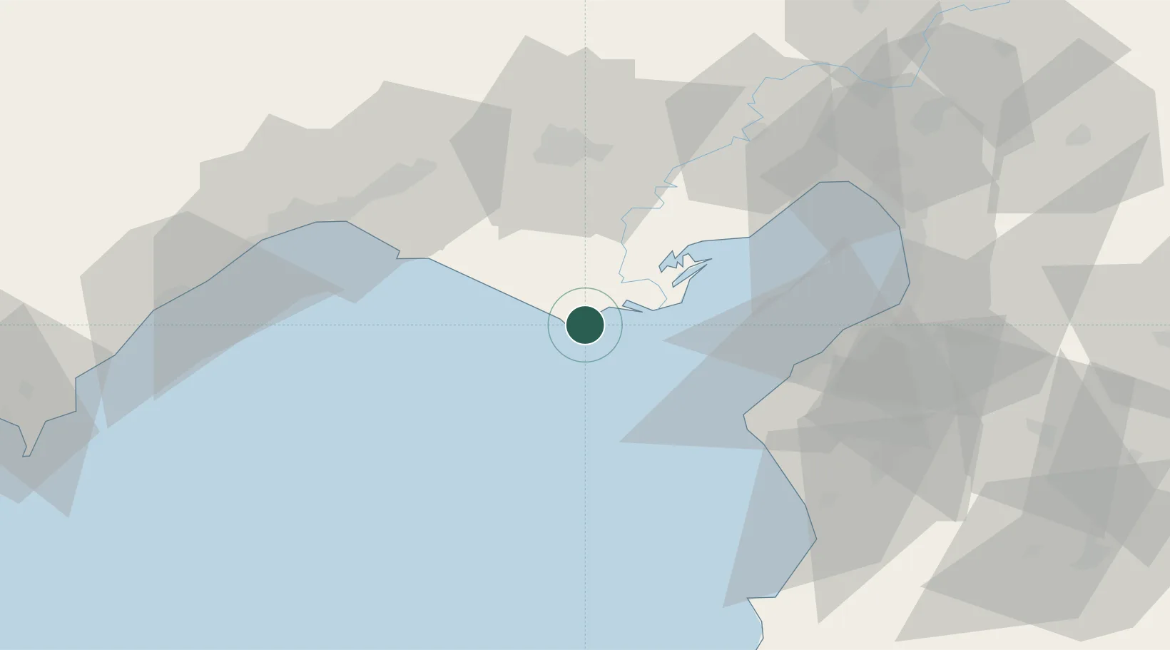
Place type
Populated place
Region
Adana
Population
236
Time zone
Europe/Istanbul
Elevation
12 m
Location
Nearby Logistics Neighbours
Cities
- 1Yumurtalik43 km
- 2Adana50 km
- 3Kazanli65 km
- 4Toros Gubre Terminal, Gubre67 km
- 5Akdeniz70 km
Ports
- 1Botas62 km
- 2Toros Gubre66 km
- 3Iskenderun70 km
- 4Mersin72 km
- 5Yakacik74 km
Airports
- 1Çukurova International Airport47 km
- 2Adana Şakirpaşa Airport49 km
- 3İncirlik Air Base50 km
- 4Hatay Airport83 km
- 5Latakia International Airport138 km
Trade Zones
DatabookThe Record of Consolidated Knowledge
Türkiye beyond logistics?