Industrial Complex · South Korea

Centum City General Industrial Complex Active
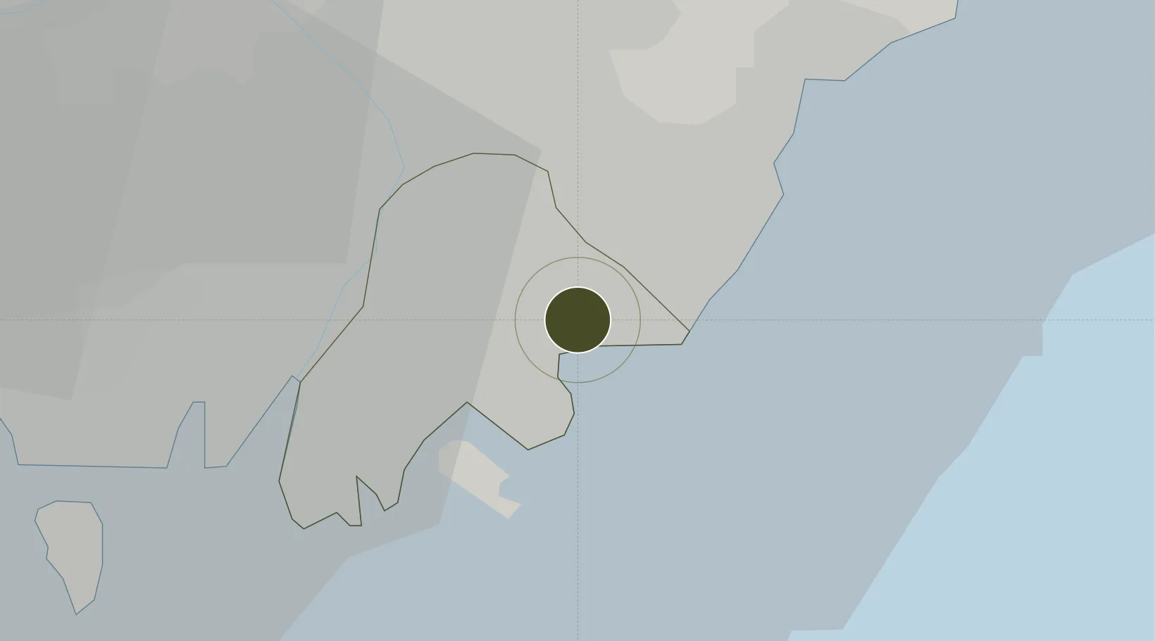
35.1708°, 129.1312°
244 ha
Zone area
11.9 km
Nearest port
17.6 km
Nearest airport

Gateway access

Nearest neighbours — logibook spatial index (haversine) over the source coordinates

Zone profile

Zone type
Industrial Complex
the World Bank SEZ database
Specialization
Tech
the World Bank SEZ database
Region
Busan
the World Bank SEZ database
Status
Active
the World Bank SEZ database
Established
2006
the World Bank SEZ database
Management
Public agency
the World Bank SEZ database
Operator
Busan Metropolitan City administration
the World Bank SEZ database
Regulatory authority
National, provincial or city-level governments
the World Bank SEZ database
Legal framework
Industrial Sites and Development Act, and the Industrial Placement and Factory Act
the World Bank SEZ database

Location

Location of KOR12
Natural Earth 10m (public domain) · Busan · KOR12 · 35.17, 129.13GoogleOSMYandex

Fiscal & incentives

Corporate tax
22%
the World Bank SEZ database
Tax relief
100% exempt
the World Bank SEZ database
Relief duration
5 years
the World Bank SEZ database
VAT
No exemption
the World Bank SEZ database
Import duty (inputs)
0% exempt
the World Bank SEZ database
Import duty (capex)
100% exempt
the World Bank SEZ database
Profit repatriation
No exemption
the World Bank SEZ database
Capital gains
No exemption
the World Bank SEZ database
Withholding tax
No exemption
the World Bank SEZ database
Min. investment
$30M
the World Bank SEZ database
Min. export
0%
the World Bank SEZ database
Employment incentive
Employment and training subsidies available to companies that newly employ 20 more individuals
the World Bank SEZ database
Developer incentive
No established framework
the World Bank SEZ database

Nearby Logistics Neighbours

Ports
  1. 1Busan12 km
  2. 2Ulsan40 km
  3. 3Chinae44 km
  4. 4Masan51 km
  5. 5Pohang100 km
Nearest neighbours — logibook spatial index (haversine) over the source coordinates
Airports
  1. 1Gimhae International Airport18 km
  2. 2Ulsan Airport51 km
  3. 3Daegu International Airport91 km
  4. 4Pohang Airport (G-815/K-3)95 km
  5. 5Sacheon Airport / Sacheon Air Base97 km
Nearest neighbours — logibook spatial index (haversine) over the source coordinates
Cities
  1. 1Busanjin-Gu8 km
  2. 2South Busan10 km
  3. 3Gijang-gun/Busan11 km
  4. 4Gamcheon/Busan15 km
  5. 5Busan17 km
Nearest neighbours — logibook spatial index (haversine) over the source coordinates
DatabookThe Record of Consolidated Knowledge
South Korea beyond logistics?
Browse databook

All Sources

Trade Zonesthe World Bank SEZ database
CC BY 4.0
Portsthe NGA World Port Index
Public domain (US gov)
AirportsOurAirports
Public domain
LocationsUN/LOCODE
UN/LOCODE — free
← South Korea trade zones