Transport Functions
Port
Hub Profile
Place type
Populated place
Region
Gyeongsangbuk-do
Time zone
Asia/Seoul
Elevation
50 m
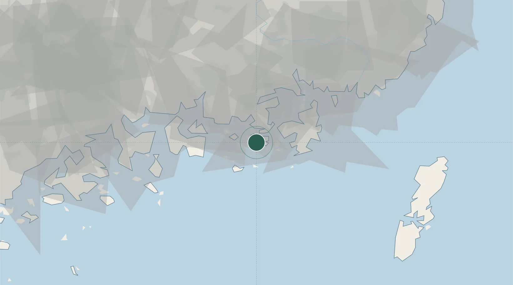
Location
Nearby Logistics Neighbours
Cities
- 1Tongyeong7 km
- 2Anjeong20 km
- 3Goseong-gun21 km
- 4Geoje21 km
- 5Koje21 km
Ports
- 1Chinae47 km
- 2Masan48 km
- 3Gwangyang Hang58 km
- 4Busan70 km
- 5Izuhara107 km
Airports
- 1Sacheon Airport / Sacheon Air Base43 km
- 2Gimhae International Airport68 km
- 3Yeosu Airport69 km
- 4Tsushima Airport104 km
- 5Daegu International Airport126 km
DatabookThe Record of Consolidated Knowledge
South Korea beyond logistics?