Transport Functions
Rail
Road
Hub Profile
Region
48
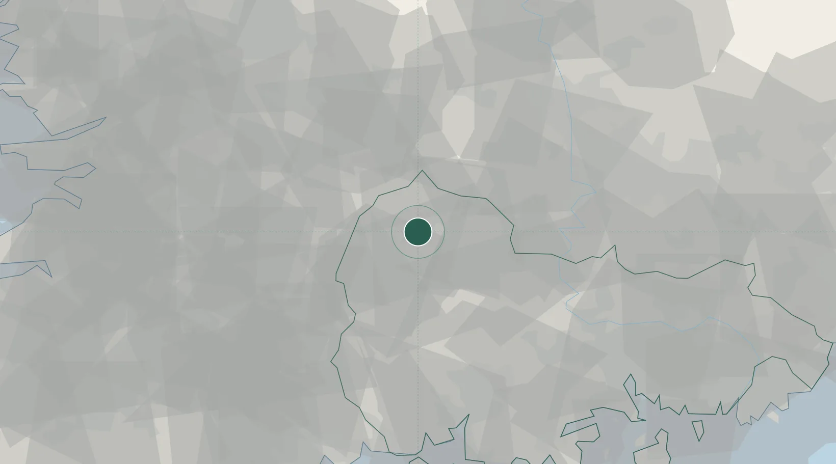
Location
Nearby Logistics Neighbours
Cities
- 1Hadong-gun14 km
- 2Wanju-gun17 km
- 3Hamyang-gun25 km
- 4Sancheong-gun32 km
- 5Jangsu-gun35 km
Ports
- 1Masan82 km
- 2Gwangyang Hang87 km
- 3Chinae91 km
- 4Kunsan120 km
- 5Busan122 km
Airports
- 1Sacheon Airport / Sacheon Air Base68 km
- 2Daegu International Airport72 km
- 3Yeosu Airport97 km
- 4Gimhae International Airport110 km
- 5Yecheon Airbase113 km
DatabookThe Record of Consolidated Knowledge
South Korea beyond logistics?