UN/LOCODE hub · South Korea
KRKWJ
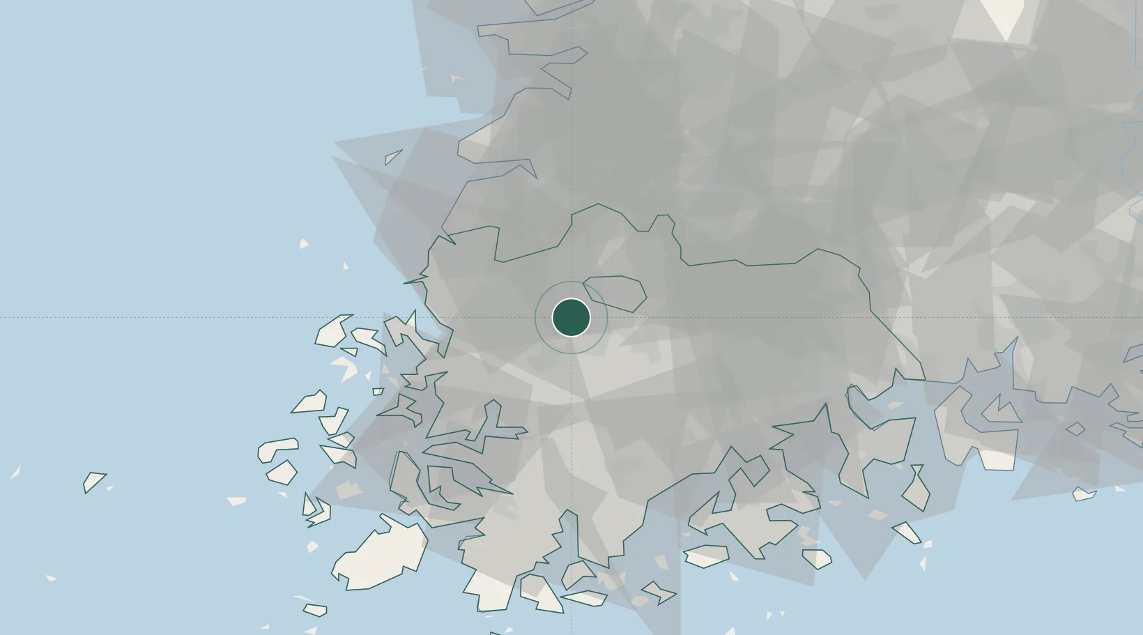
Gwangju
35.1358°, 126.7900°
1,398,538
Population
3
Transport functions
Transport Functions
Rail
Road
Airport
Hub Profile
Place type
Regional capital
Region
Gwangju
Population
1,398,538
Time zone
Asia/Seoul
Elevation
47 m
Logistics facilities
1
Location
Nearby Logistics Neighbours
Cities
- 1Naju15 km
- 2Jangseong/Jangseong-gun18 km
- 3Hwasun-gun20 km
- 4Muan-gun23 km
- 5Damyang-gun27 km
Ports
- 1Mokpo54 km
- 2Gwangyang Hang91 km
- 3Kunsan96 km
- 4Masan162 km
- 5Chinae169 km
Airports
- 1Gwangju Airport2 km
- 2Muan International Airport40 km
- 3Yeosu Airport82 km
- 4Gunsan Airport / Gunsan Air Base87 km
- 5Sacheon Airport / Sacheon Air Base117 km
DatabookThe Record of Consolidated Knowledge
South Korea beyond logistics?