Transport Functions
Port
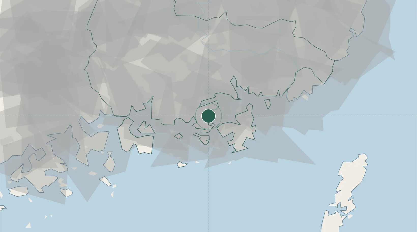
Hub Profile
Place type
Populated place
Region
Jeollanam-do
Time zone
Asia/Seoul
Elevation
15 m
Location
Nearby Logistics Neighbours
Cities
- 1Goseong-gun11 km
- 2Tongyeong13 km
- 3Geoje18 km
- 4Koje18 km
- 5Gohyeon/Geoje18 km
Ports
- 1Chinae28 km
- 2Masan29 km
- 3Busan57 km
- 4Gwangyang Hang63 km
- 5Ulsan104 km
Airports
- 1Sacheon Airport / Sacheon Air Base36 km
- 2Gimhae International Airport53 km
- 3Yeosu Airport75 km
- 4Daegu International Airport107 km
- 5Ulsan Airport110 km
DatabookThe Record of Consolidated Knowledge
South Korea beyond logistics?