Transport Functions
Rail
Road
Hub Profile
Region
45
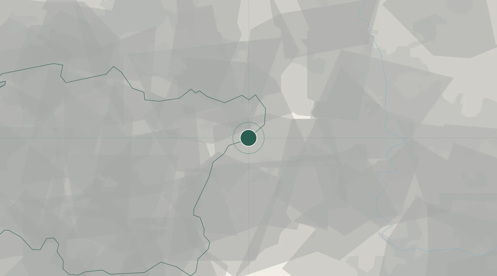
Location
Nearby Logistics Neighbours
Cities
- 1Geochang-gun17 km
- 2Hadong-gun17 km
- 3Hamyang-gun37 km
- 4Jangsu-gun37 km
- 5Yeongdong-gun38 km
Ports
- 1Masan97 km
- 2Gwangyang Hang103 km
- 3Chinae106 km
- 4Kunsan112 km
- 5Busan135 km
Airports
DatabookThe Record of Consolidated Knowledge
South Korea beyond logistics?