UN/LOCODE hub · South Korea
KRZAD

Hwasun-gun

35.0500°, 126.9833°
1
Transport functions

Transport Functions

Multimodal
UN/LOCODE

Hub Profile

Region
46
GeoNames

Location

Location of KRZAD
Natural Earth 10m (public domain) · 46 · KRZAD · 35.05, 126.98GoogleOSMYandex

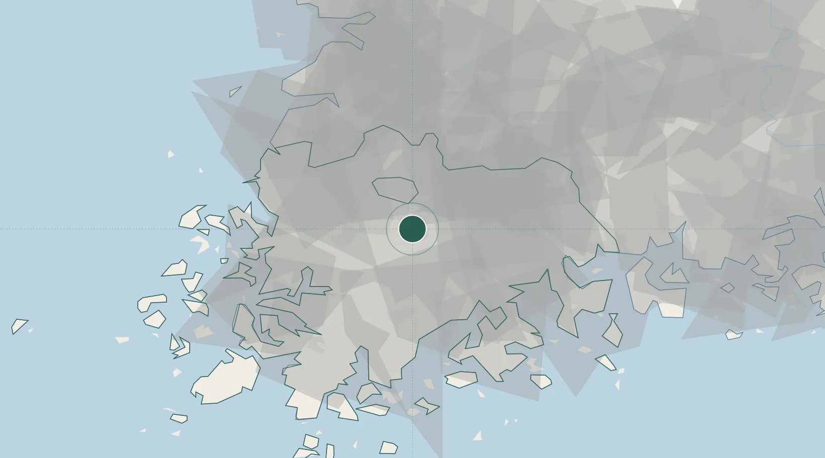
Nearby Logistics Neighbours

Cities
  1. 1Muan-gun8 km
  2. 2Gwangju20 km
  3. 3Naju25 km
  4. 4Damyang-gun30 km
  5. 5Jangseong/Jangseong-gun32 km
Nearest neighbours — logibook spatial index (haversine) over the source coordinates
Ports
  1. 1Mokpo62 km
  2. 2Gwangyang Hang72 km
  3. 3Kunsan109 km
  4. 4Masan145 km
  5. 5Chinae152 km
Nearest neighbours — logibook spatial index (haversine) over the source coordinates
Airports
  1. 1Gwangju Airport18 km
  2. 2Muan International Airport55 km
  3. 3Yeosu Airport62 km
  4. 4Sacheon Airport / Sacheon Air Base99 km
  5. 5Gunsan Airport / Gunsan Air Base101 km
Nearest neighbours — logibook spatial index (haversine) over the source coordinates
Trade Zones
  1. 1Songam Industrial Complex12 km
  2. 2Energy Valley Urban High-Tech Regional Industrial Complex15 km
  3. 3Bonchon General Industrial Complex19 km
  4. 4Gwangju Regulation-Free Zone19 km
  5. 5Sochon Industrial Complex21 km
Nearest neighbours — logibook spatial index (haversine) over the source coordinates
DatabookThe Record of Consolidated Knowledge
South Korea beyond logistics?
Browse databook

All Sources

LocationsUN/LOCODE
UN/LOCODE — free
Portsthe NGA World Port Index
Public domain (US gov)
AirportsOurAirports
Public domain
Trade Zonesthe World Bank SEZ database
CC BY 4.0
Trade ZonesOpen Zone Map
CC BY
← South Korea locations