UN/LOCODE hub · China
CNDLD

Dalu Island

39.7333°, 123.7167°
1
Transport functions

Transport Functions

Port
UN/LOCODE

Hub Profile

Region
LN
GeoNames

Location

Location of CNDLD
Natural Earth 10m (public domain) · LN · CNDLD · 39.73, 123.72GoogleOSMYandex

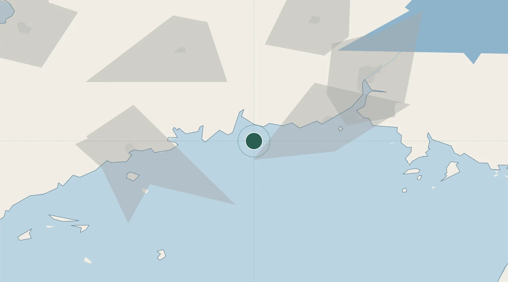
Nearby Logistics Neighbours

Cities
  1. 1Donggang39 km
  2. 2Garberville41 km
  3. 3Zhuanghe Pt64 km
  4. 4Dandong71 km
  5. 5Dandong71 km
Nearest neighbours — logibook spatial index (haversine) over the source coordinates
Ports
  1. 1Dandong38 km
  2. 2Bayuquan153 km
  3. 3Yingkou164 km
  4. 4Nampo184 km
  5. 5Kyomip'o198 km
Nearest neighbours — logibook spatial index (haversine) over the source coordinates
Airports
  1. 1Dandong Langtou International Airport59 km
  2. 2Changhai Dachangshandao Airport104 km
  3. 3Kwaksan Air Base119 km
  4. 4Yingkou Lanqi Airport146 km
  5. 5Pulandian Air Base149 km
Nearest neighbours — logibook spatial index (haversine) over the source coordinates
Trade Zones
  1. 1Dalian Circular Industry Economic Zone63 km
  2. 2Dayanghe Lingang Industrial Zone67 km
  3. 3Sinō­iju International Economic Zone73 km
  4. 4Huayuankou Economic Zone93 km
  5. 5Chongsu Tourist Development Zone105 km
Nearest neighbours — logibook spatial index (haversine) over the source coordinates
DatabookThe Record of Consolidated Knowledge
China beyond logistics?
Browse databook

All Sources

LocationsUN/LOCODE
UN/LOCODE — free
Portsthe NGA World Port Index
Public domain (US gov)
AirportsOurAirports
Public domain
Trade Zonesthe World Bank SEZ database
CC BY 4.0
Trade ZonesOpen Zone Map
CC BY
← China locations