Transport Functions
Rail
Road
Hub Profile
Place type
Populated place
Region
Chuy Region
Time zone
Asia/Bishkek
Elevation
708 m
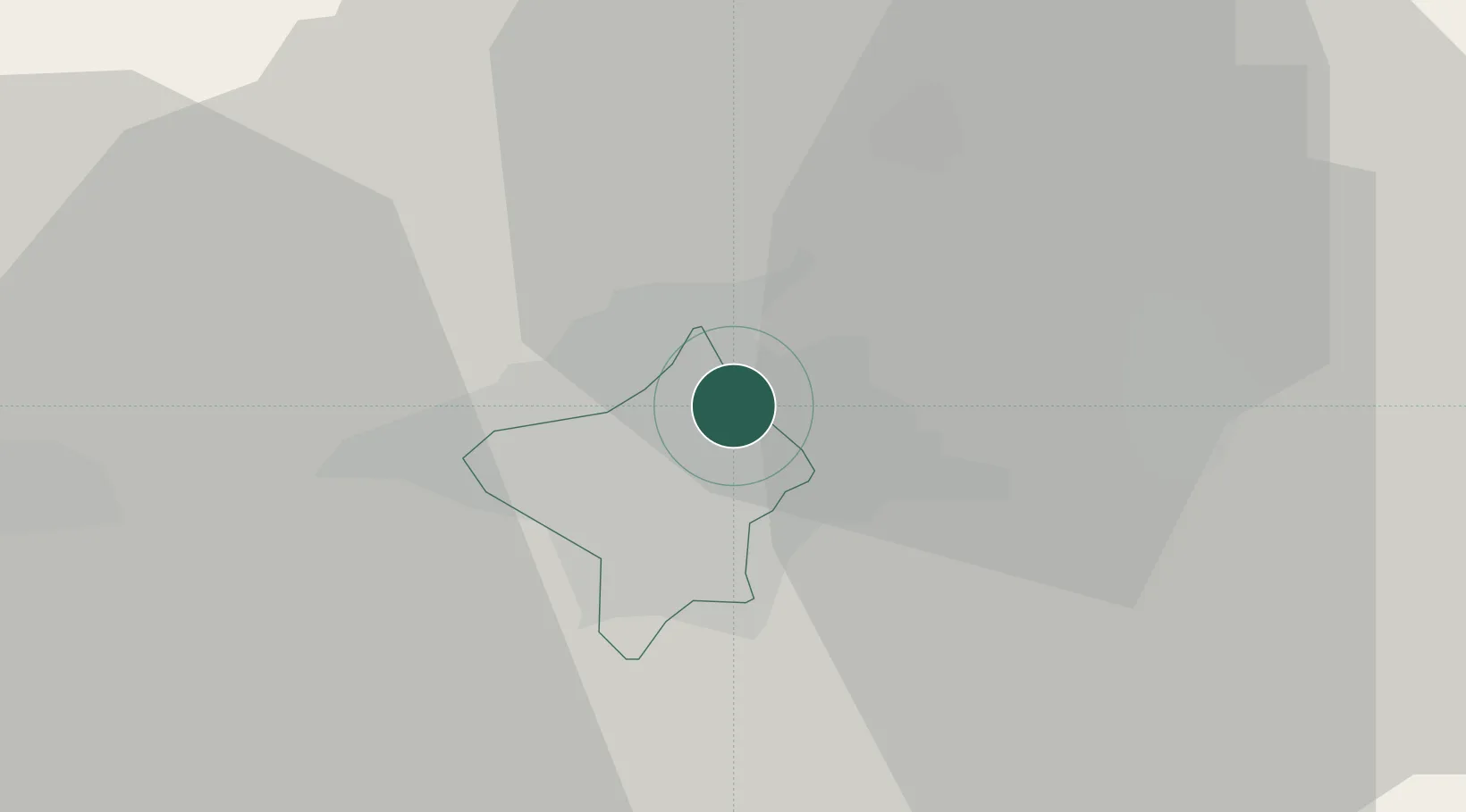
Location
Nearby Logistics Neighbours
Cities
- 1Bishkek (ex Frunze)5 km
- 2Wysox192 km
- 3Almaty193 km
- 4Cos Cob225 km
- 5Taraz264 km
Ports
- 1Muhamamad Bin Qasim2124 km
- 2Karachi2132 km
- 3Kandla2246 km
- 4Navlakhi2251 km
- 5Gwadar2274 km
Airports
- 1Kant Air Base18 km
- 2Manas International Airport22 km
- 3Tokmok Airport58 km
- 4Issyk-Kul International Airport172 km
- 5Kazarman Airport173 km
Trade Zones
DatabookThe Record of Consolidated Knowledge
Kyrgyzstan beyond logistics?