Medium airport · Kyrgyzstan
Kant Air BaseUAFW
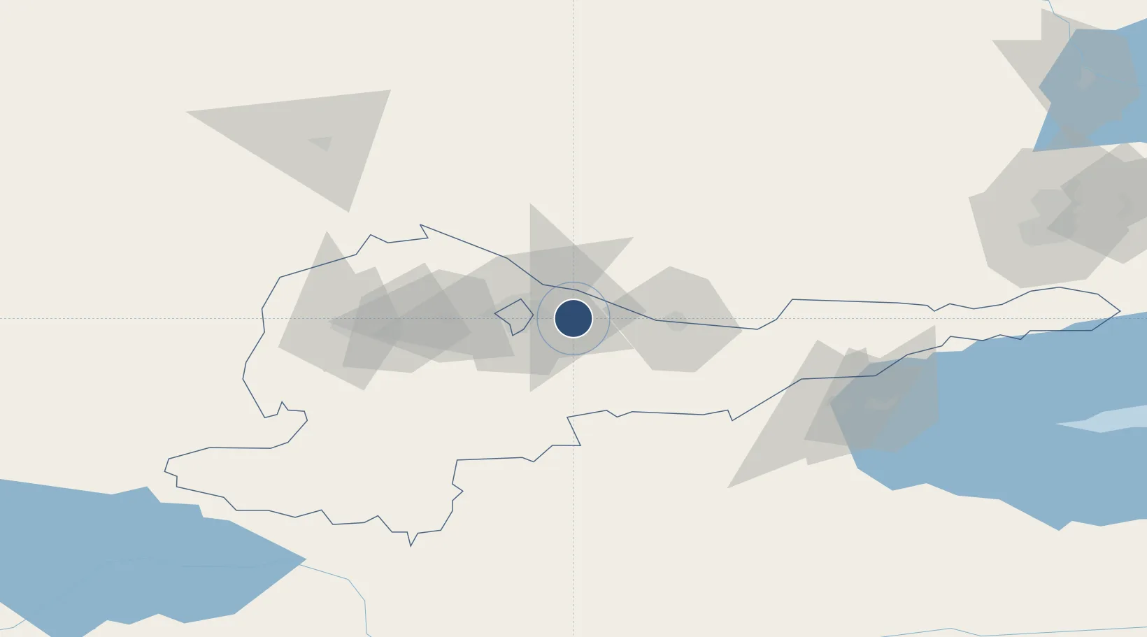
42.8532°, 74.8465°
8,859 ft
Longest runway
1
Runways
2,549 ft
Elevation
Runway & Layout

Radio Frequencies
TWR
124 MHz
APP
124.6 MHz
BISHKEK APP
Navaids
PD NDB Kant 568 kHz
Runways · 1
| Runway | Dimensions | Surface | True heading | Lit |
|---|---|---|---|---|
| 11/29 | 8,859 × 164ft | Concrete | 115° | — |
Airport Specifications
ICAO code
UAFW
Airport class
Medium airport
Scheduled service
No
Runway surface
Concrete
Served city
Kant
Location
Nearby Logistics Neighbours
Airports
- 1Manas International Airport38 km
- 2Tokmok Airport40 km
- 3Issyk-Kul International Airport154 km
- 4Kazarman Airport174 km
- 5Almaty International Airport187 km
Cities
- 1Alamedin18 km
- 2Bishkek (ex Frunze)20 km
- 3Wysox176 km
- 4Almaty178 km
- 5Cos Cob227 km
Ports
- 1Muhamamad Bin Qasim2125 km
- 2Karachi2134 km
- 3Kandla2245 km
- 4Navlakhi2249 km
- 5Gwadar2279 km
Trade Zones
DatabookThe Record of Consolidated Knowledge
Kyrgyzstan beyond logistics?