Transport Functions
Rail
Road
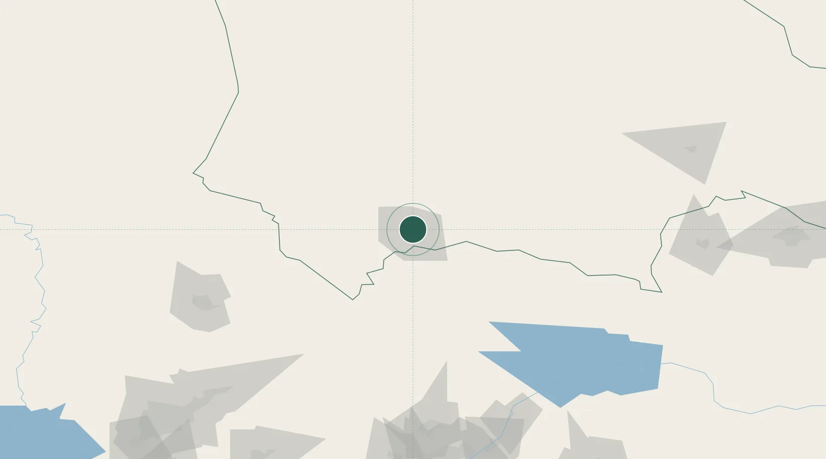
Hub Profile
Place type
Regional capital
Region
Zhambyl
Population
358,153
Time zone
Asia/Almaty
Elevation
611 m
Logistics facilities
1
Location
Nearby Logistics Neighbours
Cities
- 1Aksukent140 km
- 2Chimkent163 km
- 3Arys219 km
- 4Saryagach247 km
- 5Chukur-Say250 km
Ports
- 1Muhamamad Bin Qasim2054 km
- 2Karachi2058 km
- 3Gwadar2146 km
- 4Chah Bahar2197 km
- 5Jazireh-Ye Hormoz2218 km
Airports
- 1Taraz International Airport12 km
- 2Talas Airport85 km
- 3Kerben Airport164 km
- 4Shymkent International Airport169 km
- 5Namangan International Airport217 km
Trade Zones
DatabookThe Record of Consolidated Knowledge
Kazakhstan beyond logistics?