Diversified Zone · Kyrgyzstan

Bishkek Special Economic Zone Under Development
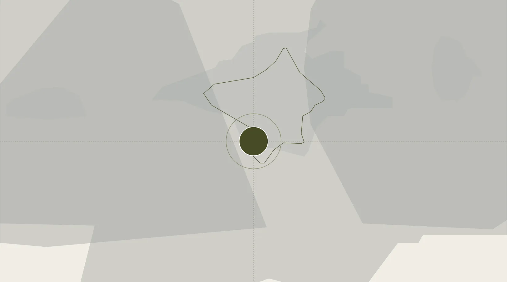
42.8091°, 74.5732°
345 ha
Zone area
2,112.3 km
Nearest port
22.8 km
Nearest airport

Gateway access

Nearest neighbours — logibook spatial index (haversine) over the source coordinates

Zone profile

Zone type
Diversified Zone
Open Zone Map
Region
Bishkek
Open Zone Map
Status
Under Development
Open Zone Map
Management
Public
Open Zone Map
Operator
Administration of FEZ “Bishkek”
Open Zone Map
Legal framework
Statement About Free Economic Zone "Bishkek" dated July 8, 2016 No. 376
Open Zone Map

Location

Location of ozm-2685
Natural Earth 10m (public domain) · Bishkek · ozm-2685 · 42.81, 74.57GoogleOSMYandex

Nearby Logistics Neighbours

Ports
  1. 1Muhamamad Bin Qasim2112 km
  2. 2Karachi2121 km
  3. 3Kandla2235 km
  4. 4Navlakhi2240 km
  5. 5Gwadar2262 km
Nearest neighbours — logibook spatial index (haversine) over the source coordinates
Airports
  1. 1Kant Air Base23 km
  2. 2Manas International Airport29 km
  3. 3Tokmok Airport62 km
  4. 4Kazarman Airport162 km
  5. 5Issyk-Kul International Airport176 km
Nearest neighbours — logibook spatial index (haversine) over the source coordinates
Cities
  1. 1Bishkek (ex Frunze)7 km
  2. 2Alamedin11 km
  3. 3Wysox190 km
  4. 4Almaty201 km
  5. 5Cos Cob213 km
Nearest neighbours — logibook spatial index (haversine) over the source coordinates
Trade Zones
  1. 1Leilek Special Economic Zone7 km
  2. 2Chemical Park Taraz Special Economic Zone109 km
  3. 3Karakol Special Economic Zone129 km
  4. 4Naryn Special Economic Zone194 km
  5. 5Park of Innovative Technologies Special Economic Zone217 km
Nearest neighbours — logibook spatial index (haversine) over the source coordinates
DatabookThe Record of Consolidated Knowledge
Kyrgyzstan beyond logistics?
Browse databook

All Sources

Trade ZonesOpen Zone Map
CC BY
Portsthe NGA World Port Index
Public domain (US gov)
AirportsOurAirports
Public domain
LocationsUN/LOCODE
UN/LOCODE — free
← Kyrgyzstan trade zones