Large airport · Kyrgyzstan
Manas International AirportUAFM
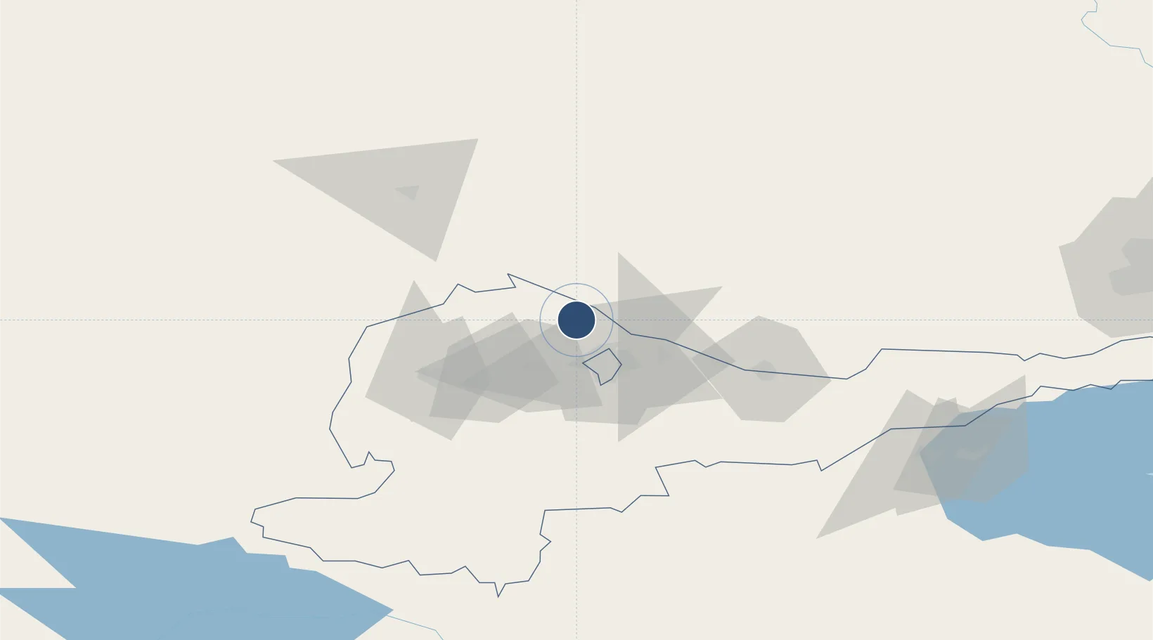
43.0613°, 74.4776°
13,780 ft
Longest runway
1
Runways
2,058 ft
Elevation
Runway & Layout

Radio Frequencies
TWR
118.1 MHz
GND
30.935 MHz
GND
121.7 MHz
APP
124.6 MHz
ACC
132.2 MHz
BISHKEK ACC
ACC
132.8 MHz
ALMATY ACC
ACC
133.1 MHz
DUSHANBE ACC
ACC
133.4 MHz
OSH ACC
MISC
30.955 MHz
RADAR LIAISON
MISC
120.15 MHz
TWR LIAISON
OPS
34.707 MHz
GANCI OPS
PMSV
30.99 MHz
METRO
PTD
26.295 MHz
GANCI DISPATCH
Runways · 1
| Runway | Dimensions | Surface | True heading | Lit |
|---|---|---|---|---|
| 07/25 | 13,780 × 180ft | Concrete | 080° | ✓ |
Airport Specifications
IATA code
BSZ
ICAO code
UCFM
Airport class
Large airport
Scheduled service
Yes
Runway surface
Concrete
Served city
Bishkek
Location
Nearby Logistics Neighbours
Airports
- 1Kant Air Base38 km
- 2Tokmok Airport75 km
- 3Kazarman Airport187 km
- 4Issyk-Kul International Airport189 km
- 5Talas Airport191 km
Cities
- 1Alamedin22 km
- 2Bishkek (ex Frunze)24 km
- 3Almaty202 km
- 4Wysox214 km
- 5Cos Cob237 km
Ports
- 1Muhamamad Bin Qasim2136 km
- 2Karachi2145 km
- 3Kandla2261 km
- 4Navlakhi2266 km
- 5Gwadar2282 km
DatabookThe Record of Consolidated Knowledge
Kyrgyzstan beyond logistics?