UN/LOCODE hub · United States
USWY4

Wysox

41.7667°, 76.4000°
2
Transport functions

Transport Functions

Road
Multimodal
UN/LOCODE

Hub Profile

Place type
Populated place
GeoNames
Region
Pennsylvania
GeoNames
Time zone
America/New_York
GeoNames
Elevation
218 m
GeoNames

Location

Location of USWY4
Natural Earth 10m (public domain) · Pennsylvania · USWY4 · 41.77, 76.40GoogleOSMYandex

Nearby Logistics Neighbours
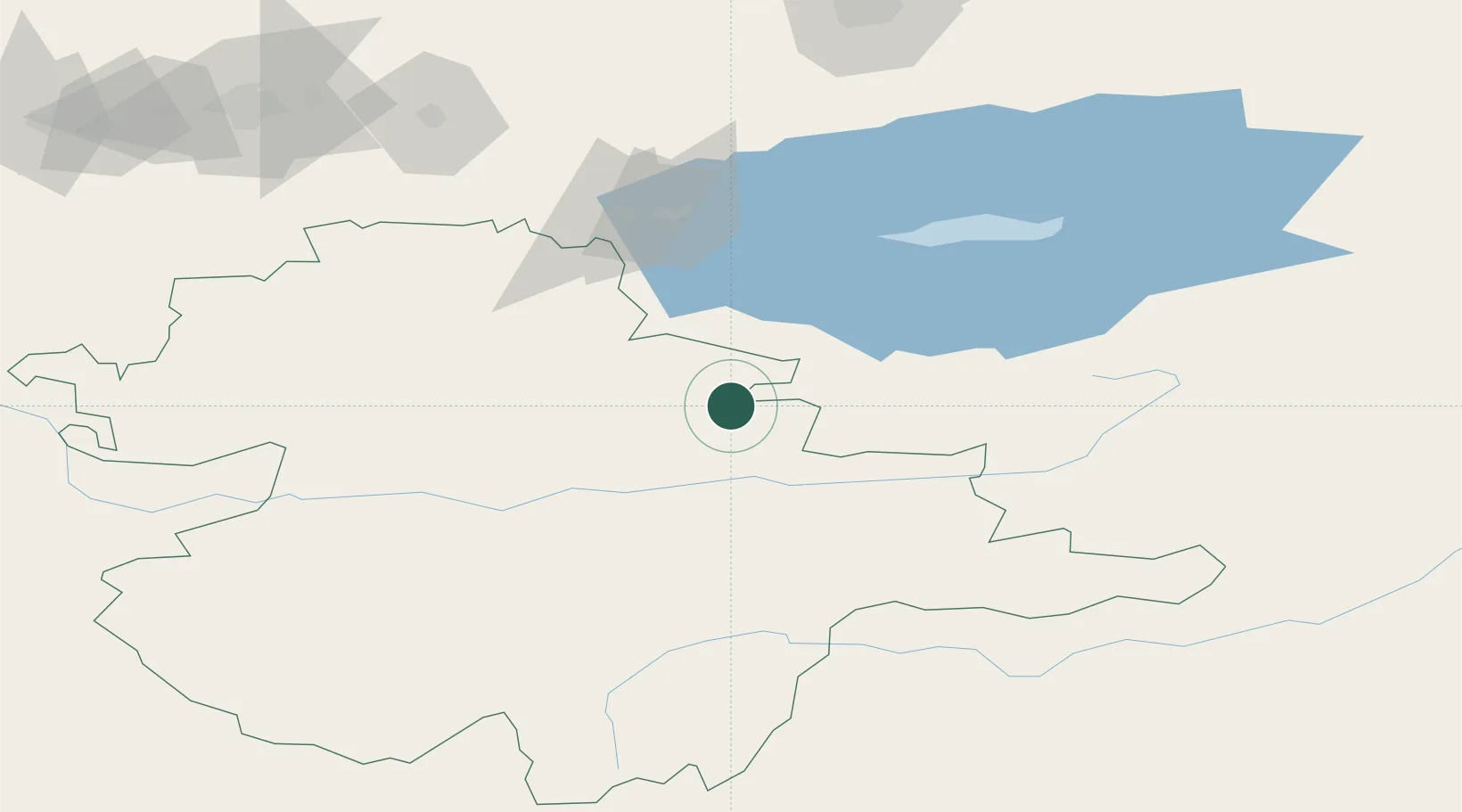
Cities
  1. 1Almaty178 km
  2. 2Bishkek (ex Frunze)192 km
  3. 3Alamedin192 km
  4. 4Cos Cob247 km
  5. 5Bay Head273 km
Nearest neighbours — logibook spatial index (haversine) over the source coordinates
Ports
  1. 1Muhamamad Bin Qasim2066 km
  2. 2Karachi2078 km
  3. 3Kandla2161 km
  4. 4Navlakhi2164 km
  5. 5Mandvi2205 km
Nearest neighbours — logibook spatial index (haversine) over the source coordinates
Airports
  1. 1Naryn Airport43 km
  2. 2Issyk-Kul International Airport94 km
  3. 3Tamga Airport105 km
  4. 4Tokmok Airport147 km
  5. 5Kant Air Base176 km
Nearest neighbours — logibook spatial index (haversine) over the source coordinates
Trade Zones
  1. 1Naryn Special Economic Zone50 km
  2. 2Karakol Special Economic Zone69 km
  3. 3Park of Innovative Technologies Special Economic Zone186 km
  4. 4Bishkek Special Economic Zone190 km
  5. 5Leilek Special Economic Zone196 km
Nearest neighbours — logibook spatial index (haversine) over the source coordinates
DatabookThe Record of Consolidated Knowledge
United States beyond logistics?
Browse databook

All Sources

LocationsUN/LOCODE
UN/LOCODE — free
Portsthe NGA World Port Index
Public domain (US gov)
AirportsOurAirports
Public domain
Trade Zonesthe World Bank SEZ database
CC BY 4.0
Trade ZonesOpen Zone Map
CC BY
← United States locations