Runway & Layout

Runways · 1
| Runway | Dimensions | Surface | True heading | Lit |
|---|---|---|---|---|
| 09/27 | — | asphalt | — | — |
Airport Specifications
ICAO code
UAFF
Airport class
Small airport
Scheduled service
Yes
Served city
Tokmok
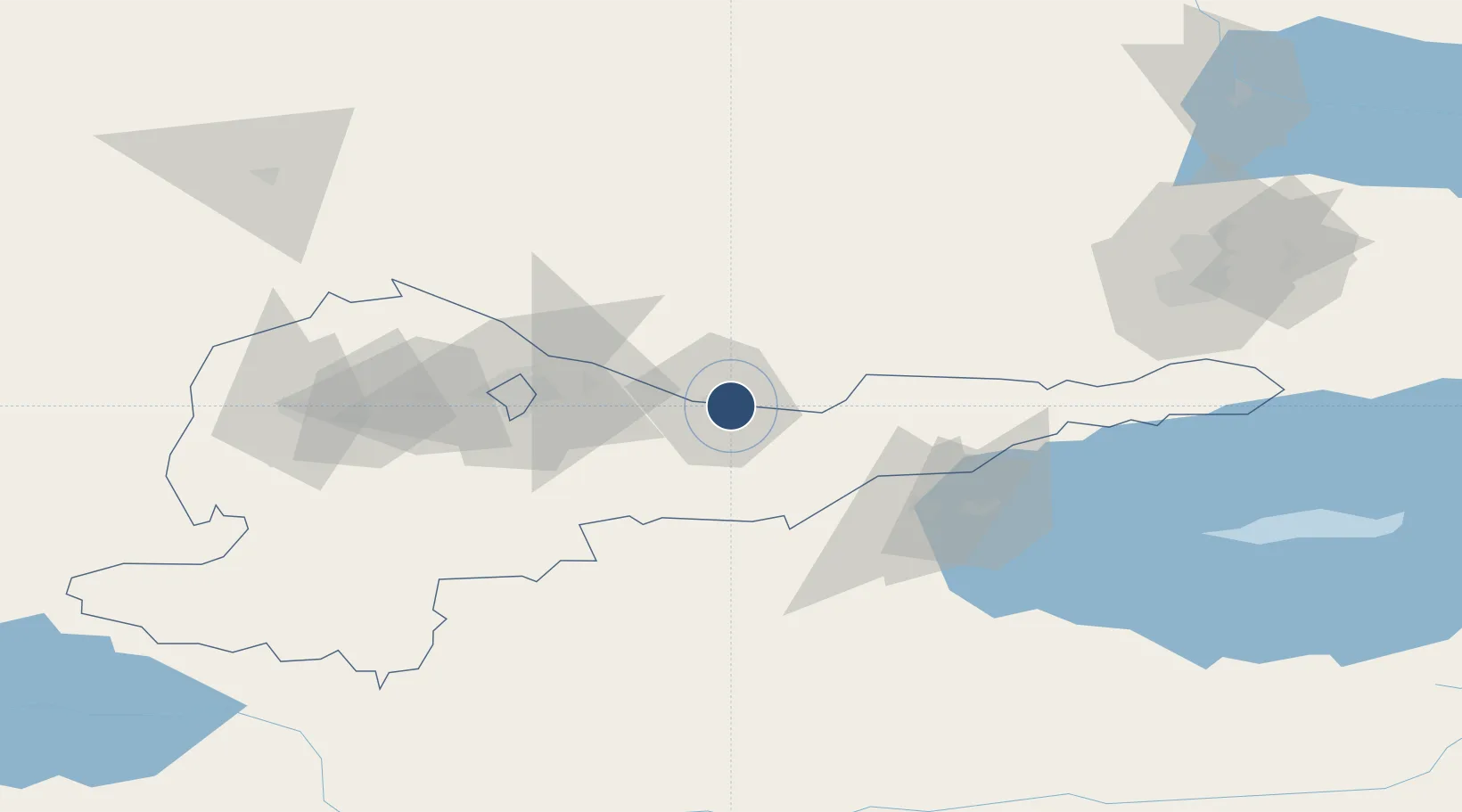
Location
Nearby Logistics Neighbours
Airports
- 1Kant Air Base40 km
- 2Manas International Airport75 km
- 3Issyk-Kul International Airport115 km
- 4Almaty International Airport150 km
- 5Naryn Airport168 km
Cities
- 1Alamedin58 km
- 2Bishkek (ex Frunze)60 km
- 3Almaty142 km
- 4Wysox147 km
- 5Cos Cob246 km
Ports
- 1Muhamamad Bin Qasim2137 km
- 2Karachi2147 km
- 3Kandla2251 km
- 4Navlakhi2255 km
- 5Mandvi2291 km
DatabookThe Record of Consolidated Knowledge
Kyrgyzstan beyond logistics?