Transport Functions
Rail
Airport
Postal
Hub Profile
Place type
Regional capital
Region
Almaty
Population
1,977,011
Time zone
Asia/Almaty
Elevation
783 m
Logistics facilities
3
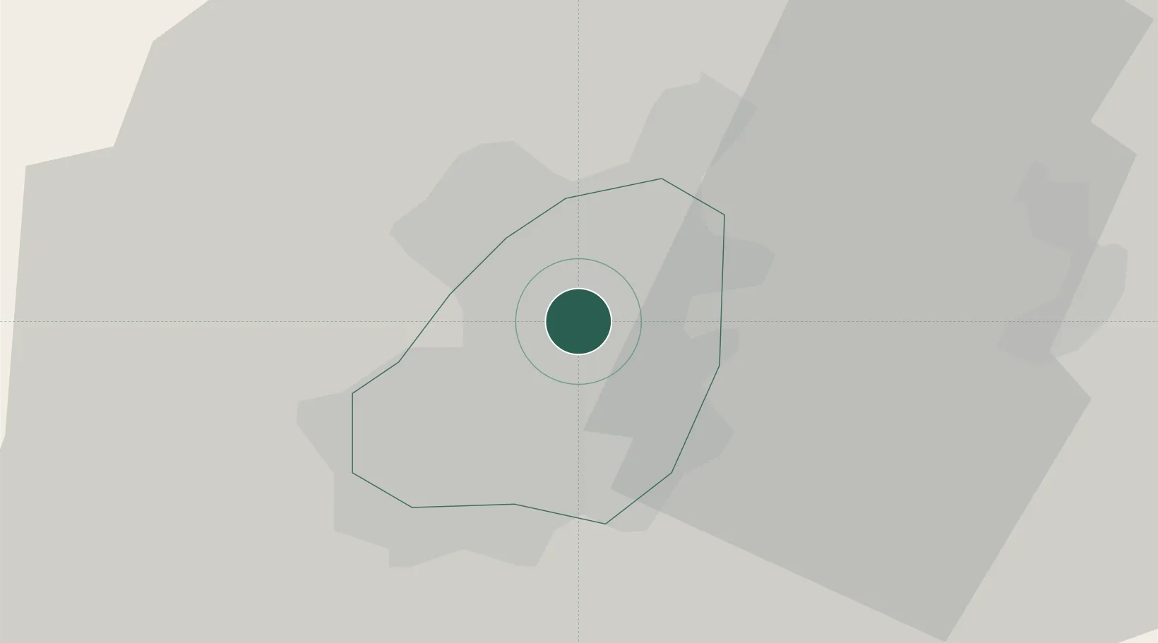
Location
Nearby Logistics Neighbours
Cities
- 1Wysox178 km
- 2Alamedin193 km
- 3Bishkek (ex Frunze)197 km
- 4Horgos323 km
- 5Yining360 km
Ports
- 1Muhamamad Bin Qasim2240 km
- 2Karachi2252 km
- 3Kandla2339 km
- 4Navlakhi2341 km
- 5Mandvi2382 km
Airports
- 1Almaty International Airport9 km
- 2Issyk-Kul International Airport84 km
- 3Tamga Airport139 km
- 4Tokmok Airport142 km
- 5Karakol Airport149 km
Trade Zones
DatabookThe Record of Consolidated Knowledge
Kazakhstan beyond logistics?