Large airport · Kyrgyzstan

Issyk-Kul International AirportUCFL
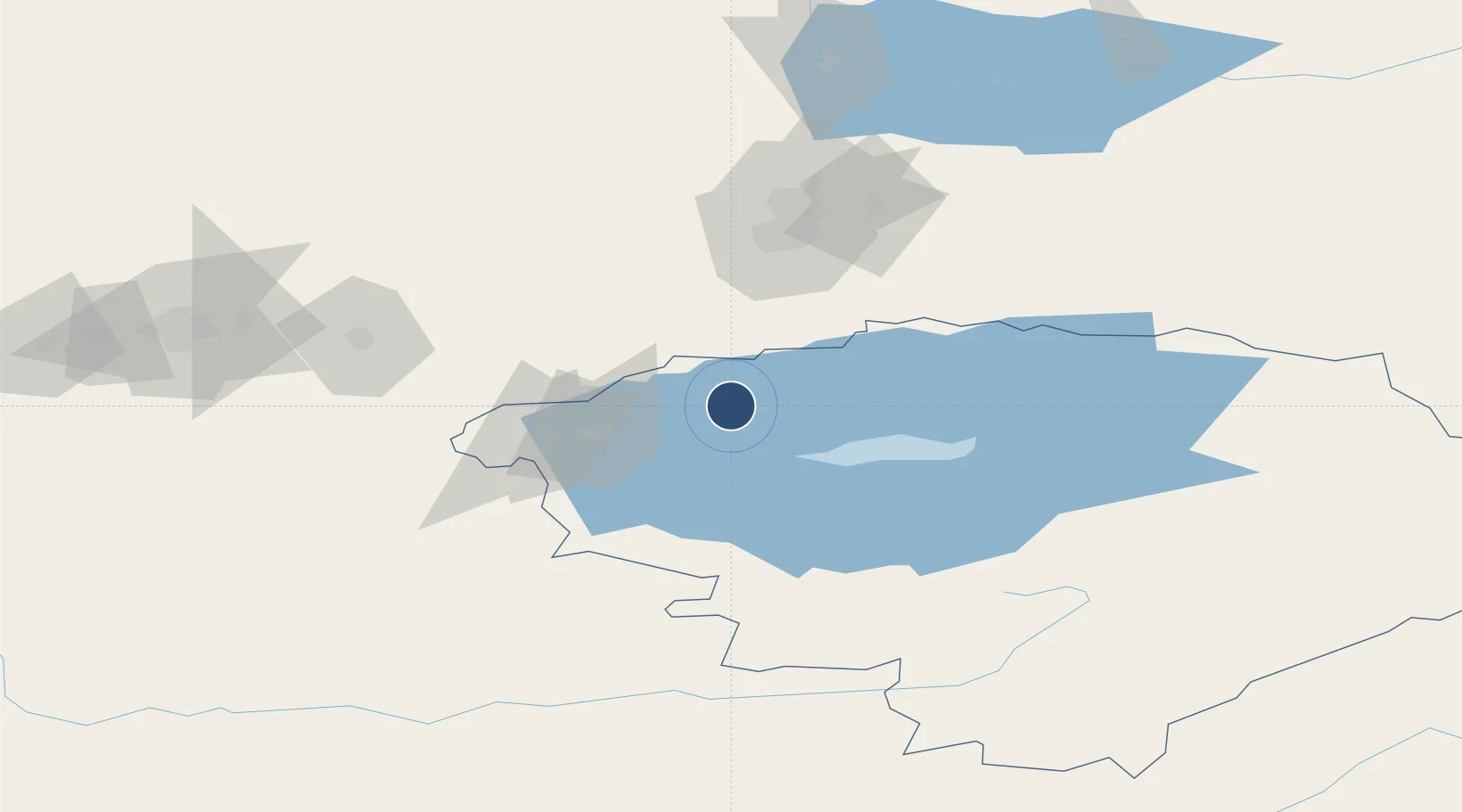
42.5856°, 76.7012°
12,467 ft
Longest runway
1
Runways
5,425 ft
Elevation

Runway & Layout

Issyk-Kul International Airport runway & taxiway layout
Runway & taxiway layout — OpenStreetMap (ODbL) / OurAirports

Radio Frequencies

TWR
118.7 MHz
YSYKKUL TWR
OurAirports

Runways · 1

RunwayDimensions SurfaceTrue headingLit
07/25 12,467 × 148ft Asphalt 074°
OurAirports

Airport Specifications

IATA code
IKU
OurAirports
ICAO code
UCFL
OurAirports
Airport class
Large airport
OurAirports
Scheduled service
Yes
OurAirports
Runway surface
Asphalt
OurAirports
Served city
Tamchy
OurAirports

Location

Location of UCFL
Natural Earth 10m (public domain) · Ysyk-Köl · UCFL · 42.59, 76.70GoogleOSMYandex

Nearby Logistics Neighbours

Airports
  1. 1Tamga Airport86 km
  2. 2Almaty International Airport90 km
  3. 3Tokmok Airport115 km
  4. 4Naryn Airport136 km
  5. 5Karakol Airport140 km
Nearest neighbours — logibook spatial index (haversine) over the source coordinates
Cities
  1. 1Almaty84 km
  2. 2Wysox94 km
  3. 3Alamedin172 km
  4. 4Bishkek (ex Frunze)175 km
  5. 5Cos Cob310 km
Nearest neighbours — logibook spatial index (haversine) over the source coordinates
Ports
  1. 1Muhamamad Bin Qasim2159 km
  2. 2Karachi2171 km
  3. 3Kandla2255 km
  4. 4Navlakhi2258 km
  5. 5Mandvi2299 km
Nearest neighbours — logibook spatial index (haversine) over the source coordinates
Trade Zones
  1. 1Karakol Special Economic Zone66 km
  2. 2Park of Innovative Technologies Special Economic Zone92 km
  3. 3Naryn Special Economic Zone141 km
  4. 4Bishkek Special Economic Zone176 km
  5. 5Leilek Special Economic Zone183 km
Nearest neighbours — logibook spatial index (haversine) over the source coordinates
DatabookThe Record of Consolidated Knowledge
Kyrgyzstan beyond logistics?
Browse databook

All Sources

AirportsOurAirports
Public domain
Portsthe NGA World Port Index
Public domain (US gov)
LocationsUN/LOCODE
UN/LOCODE — free
Trade Zonesthe World Bank SEZ database
CC BY 4.0
Trade ZonesOpen Zone Map
CC BY
InfrastructureOpenStreetMap
ODbL 1.0
← Kyrgyzstan airports