Transport Functions
Multimodal
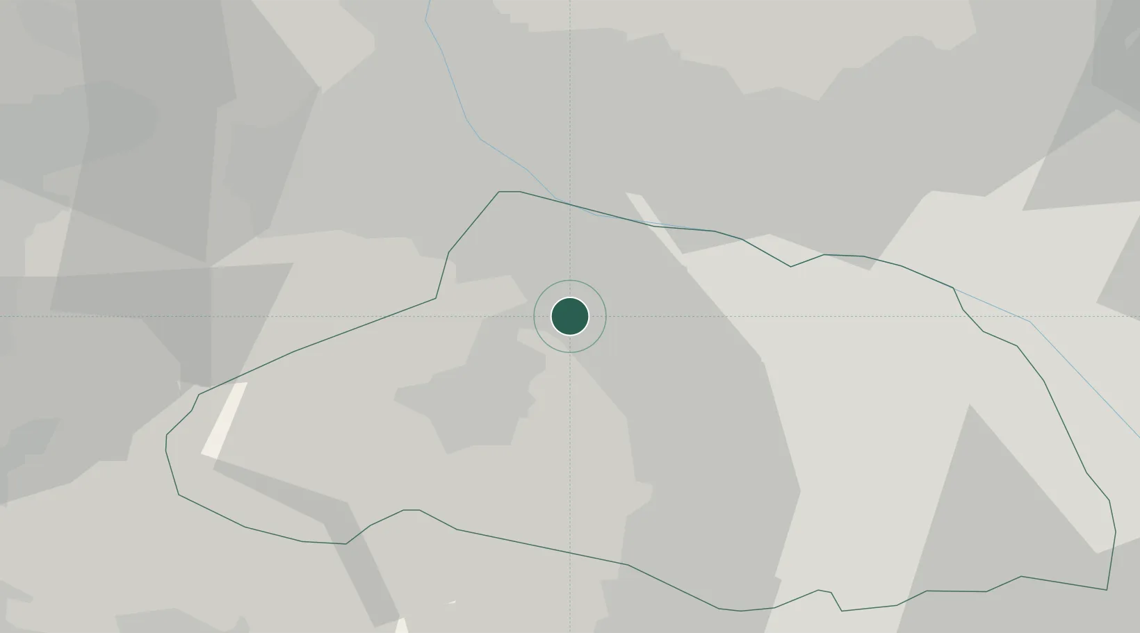
Hub Profile
Place type
Populated place
Region
Saitama
Population
32,851
Time zone
Asia/Tokyo
Elevation
102 m
Location
Nearby Logistics Neighbours
Cities
- 1Honjyo12 km
- 2Arajuku14 km
- 3Tokigawa14 km
- 4Hatoyama19 km
- 5Ogose, Saitama20 km
Ports
- 1Tokyo Ko70 km
- 2Yokohama Ko82 km
- 3Funabashi84 km
- 4Kawasaki Ko86 km
- 5Chiba Ko98 km
Airports
- 1Iruma Air Base36 km
- 2Yokota Air Base43 km
- 3Chofu Airport58 km
- 4Utsunomiya Airport75 km
- 5JMSDF Atsugi Air Base / Naval Air Facility Atsugi77 km
Trade Zones
- 1Gunma Cancer Treatment Technology Regional Revitalization Comprehensive Special Zone38 km
- 2Saitama Next-Generation Automobile Smart Energy Special Zone47 km
- 3Sagami Robot Industrial Special Zone59 km
- 4Gunma Environmentally Friendly Livestock Promotion Special Zone66 km
- 5Tokyo Area National Strategic Special Zone72 km
DatabookThe Record of Consolidated Knowledge
Japan beyond logistics?