Transport Functions
Multimodal
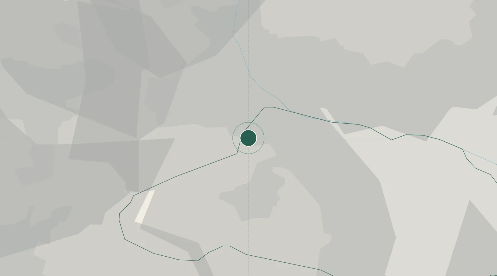
Hub Profile
Region
11
Location
Nearby Logistics Neighbours
Ports
- 1Tokyo Ko84 km
- 2Yokohama Ko94 km
- 3Funabashi98 km
- 4Kawasaki Ko99 km
- 5Chiba Ko112 km
Airports
- 1Iruma Air Base49 km
- 2Yokota Air Base55 km
- 3Chofu Airport70 km
- 4Utsunomiya Airport81 km
- 5JMSDF Atsugi Air Base / Naval Air Facility Atsugi88 km
Trade Zones
- 1Gunma Cancer Treatment Technology Regional Revitalization Comprehensive Special Zone28 km
- 2Gunma Environmentally Friendly Livestock Promotion Special Zone55 km
- 3Saitama Next-Generation Automobile Smart Energy Special Zone61 km
- 4Sagami Robot Industrial Special Zone69 km
- 5Minami-Alps Competitiveness and Sustainability Special Zone84 km
DatabookThe Record of Consolidated Knowledge
Japan beyond logistics?