Transport Functions
Multimodal
Hub Profile
Region
11
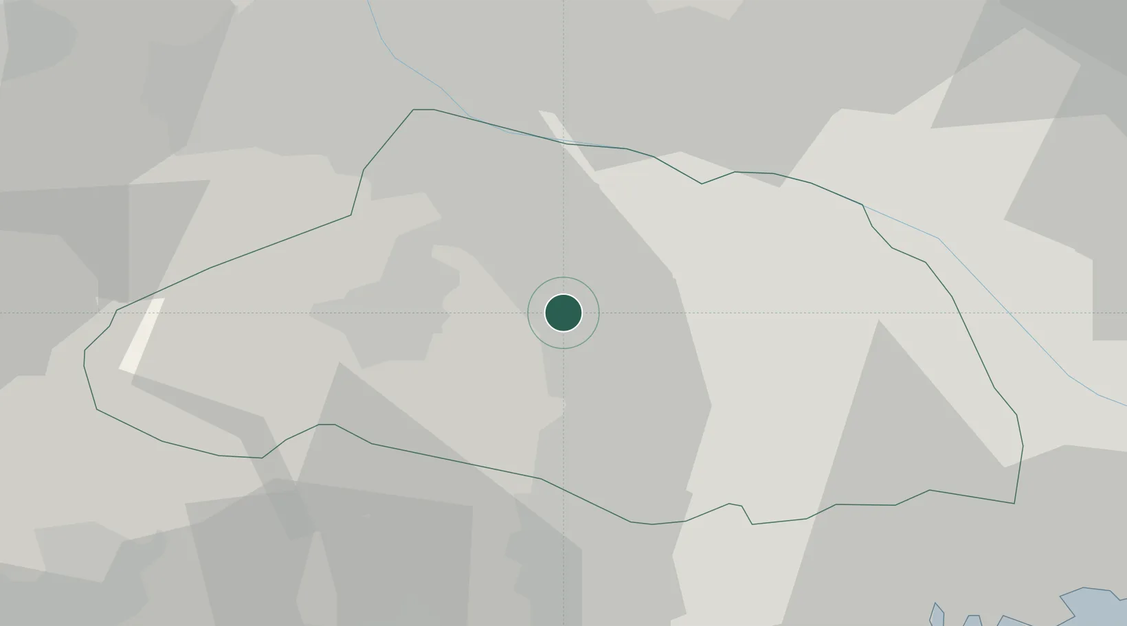
Location
Nearby Logistics Neighbours
Cities
- 1Hatoyama5 km
- 2Ogose, Saitama8 km
- 3Yorii14 km
- 4Okegawa18 km
- 5Hanno Saitama19 km
Ports
- 1Tokyo Ko56 km
- 2Yokohama Ko68 km
- 3Funabashi70 km
- 4Kawasaki Ko71 km
- 5Chiba Ko84 km
Airports
DatabookThe Record of Consolidated Knowledge
Japan beyond logistics?