Transport Functions
Multimodal
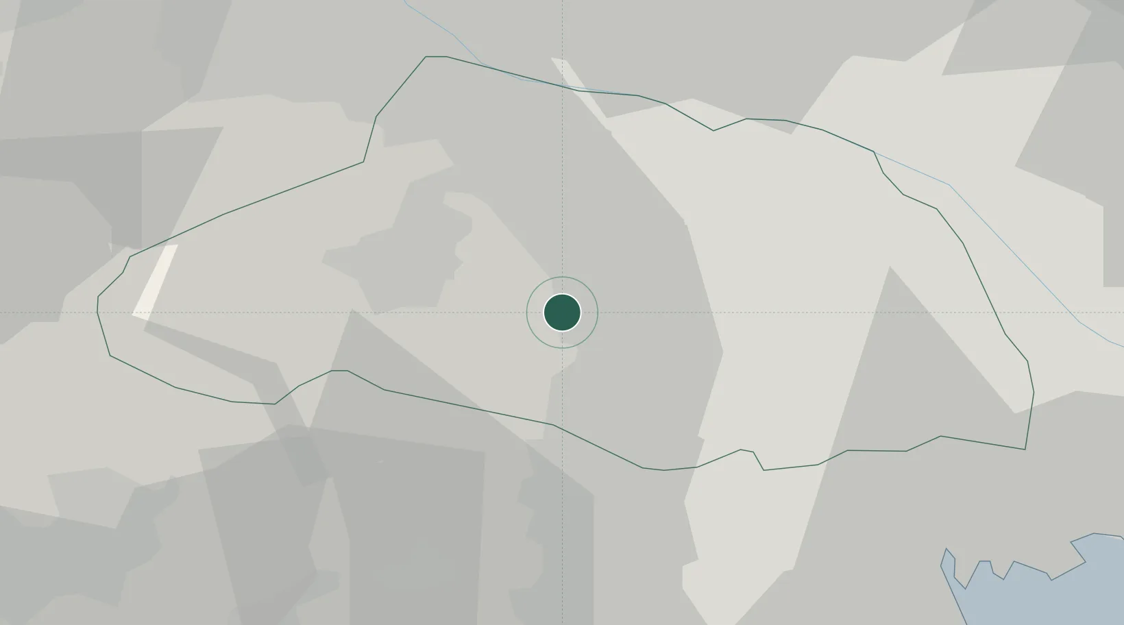
Hub Profile
Region
11
Location
Nearby Logistics Neighbours
Cities
- 1Hatoyama6 km
- 2Tokigawa8 km
- 3Hanno Saitama12 km
- 4Yorii20 km
- 5Okegawa20 km
Ports
- 1Tokyo Ko53 km
- 2Yokohama Ko62 km
- 3Kawasaki Ko66 km
- 4Funabashi68 km
- 5Chiba Ko82 km
Airports
Trade Zones
- 1Saitama Next-Generation Automobile Smart Energy Special Zone34 km
- 2Sagami Robot Industrial Special Zone41 km
- 3Tokyo Area National Strategic Special Zone54 km
- 4Special International Zone for Asian Headquarters57 km
- 5Gunma Cancer Treatment Technology Regional Revitalization Comprehensive Special Zone58 km
DatabookThe Record of Consolidated Knowledge
Japan beyond logistics?