Transport Functions
Multimodal
Hub Profile
Place type
Populated place
Region
Saitama
Population
13,560
Time zone
Asia/Tokyo
Elevation
49 m
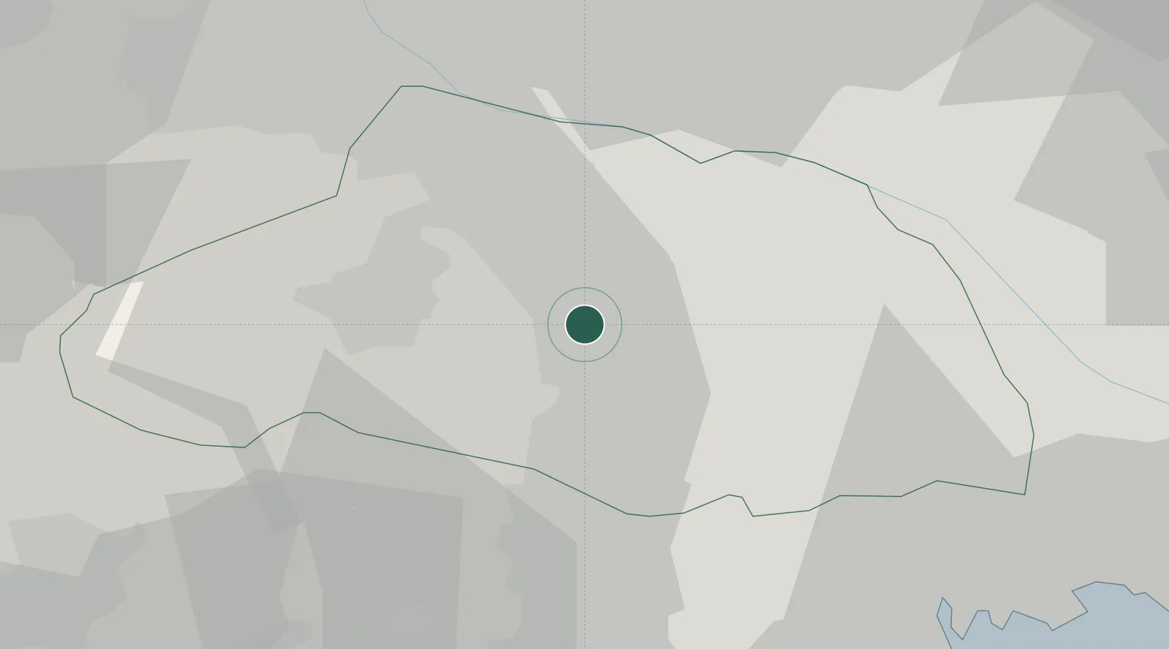
Location
Nearby Logistics Neighbours
Cities
- 1Tokigawa5 km
- 2Ogose, Saitama6 km
- 3Hanno Saitama15 km
- 4Okegawa15 km
- 5Yorii19 km
Ports
- 1Tokyo Ko52 km
- 2Yokohama Ko64 km
- 3Funabashi66 km
- 4Kawasaki Ko67 km
- 5Chiba Ko80 km
Airports
Trade Zones
- 1Saitama Next-Generation Automobile Smart Energy Special Zone30 km
- 2Sagami Robot Industrial Special Zone45 km
- 3Tokyo Area National Strategic Special Zone53 km
- 4Gunma Cancer Treatment Technology Regional Revitalization Comprehensive Special Zone56 km
- 5Special International Zone for Asian Headquarters56 km
DatabookThe Record of Consolidated Knowledge
Japan beyond logistics?