Transport Functions
Multimodal
Hub Profile
Region
36
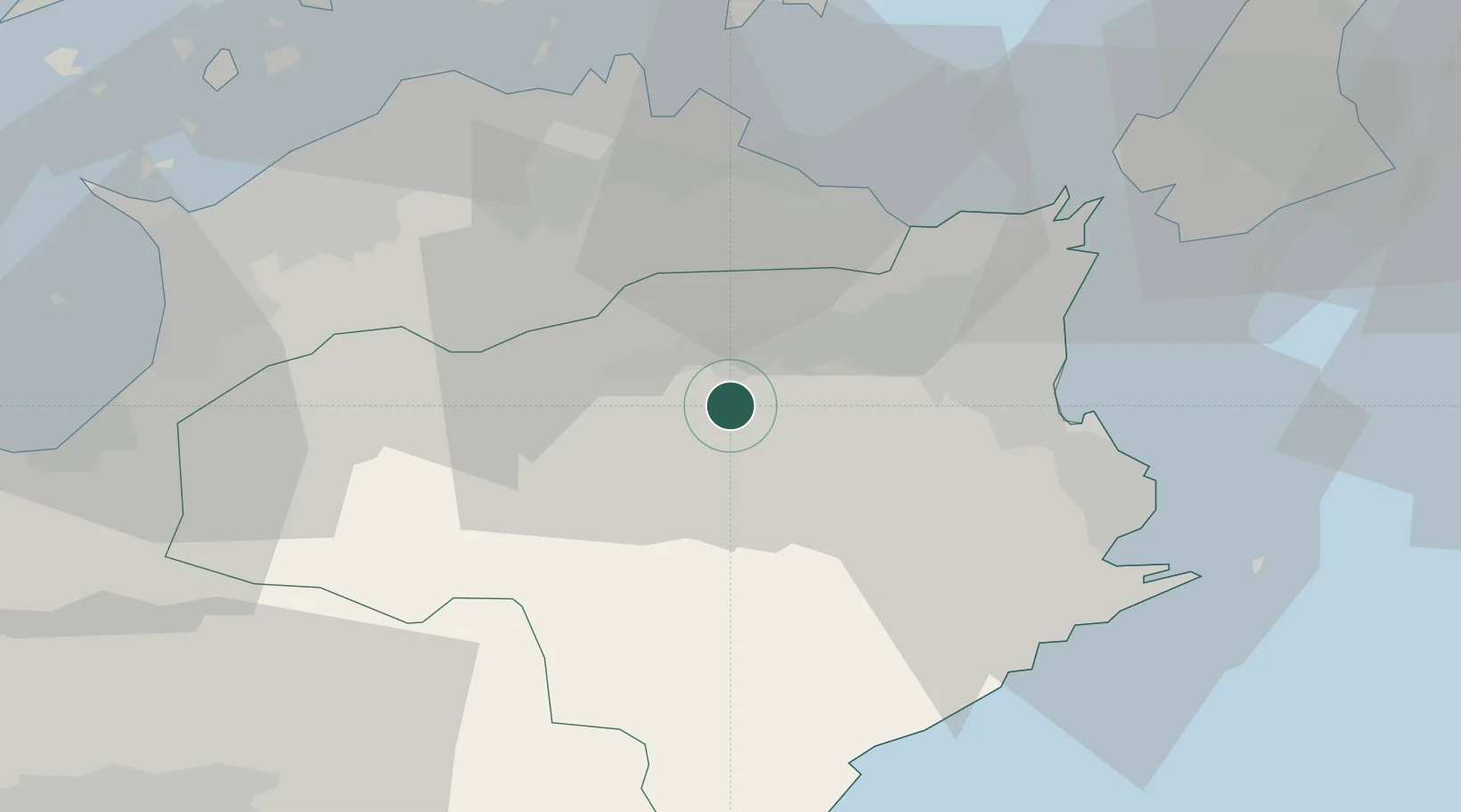
Location
Nearby Logistics Neighbours
Cities
- 1Kamiita, Tokushima18 km
- 2Kamikatsu, Tokushima20 km
- 3Tokushima33 km
- 4Sanuki34 km
- 5Komatsushima34 km
Ports
- 1Komatsushima32 km
- 2Takamatsu41 km
- 3Tachibana42 km
- 4Sakaide Ko51 km
- 5Marugame Ko53 km
Airports
DatabookThe Record of Consolidated Knowledge
Japan beyond logistics?