UN/LOCODE hub · Japan
JPZKK

Kamikatsu, Tokushima

33.8833°, 134.4000°
1
Transport functions

Transport Functions

Multimodal
UN/LOCODE

Hub Profile

Region
36
GeoNames

Location

Location of JPZKK
Natural Earth 10m (public domain) · 36 · JPZKK · 33.88, 134.40GoogleOSMYandex

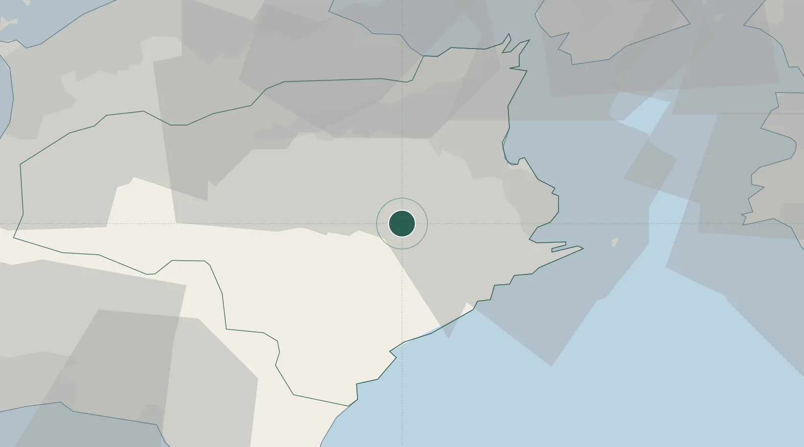
Nearby Logistics Neighbours

Cities
  1. 1Yoshinogawa Tokushima20 km
  2. 2Komatsushima24 km
  3. 3Kamiita, Tokushima26 km
  4. 4Tokushima28 km
  5. 5Sanuki53 km
Nearest neighbours — logibook spatial index (haversine) over the source coordinates
Ports
  1. 1Komatsushima24 km
  2. 2Tachibana25 km
  3. 3Takamatsu61 km
  4. 4Yura65 km
  5. 5Sakaide Ko71 km
Nearest neighbours — logibook spatial index (haversine) over the source coordinates
Airports
  1. 1Tokushima Awaodori Airport / JMSDF Tokushima Air Base34 km
  2. 2Takamatsu Airport51 km
  3. 3Kochi Ryoma Airport77 km
  4. 4Nanki Shirahama Airport92 km
  5. 5Kansai International Airport98 km
Nearest neighbours — logibook spatial index (haversine) over the source coordinates
DatabookThe Record of Consolidated Knowledge
Japan beyond logistics?
Browse databook

All Sources

LocationsUN/LOCODE
UN/LOCODE — free
Portsthe NGA World Port Index
Public domain (US gov)
AirportsOurAirports
Public domain
Trade Zonesthe World Bank SEZ database
CC BY 4.0
Trade ZonesOpen Zone Map
CC BY
← Japan locations