UN/LOCODE hub · Japan
JPKOM
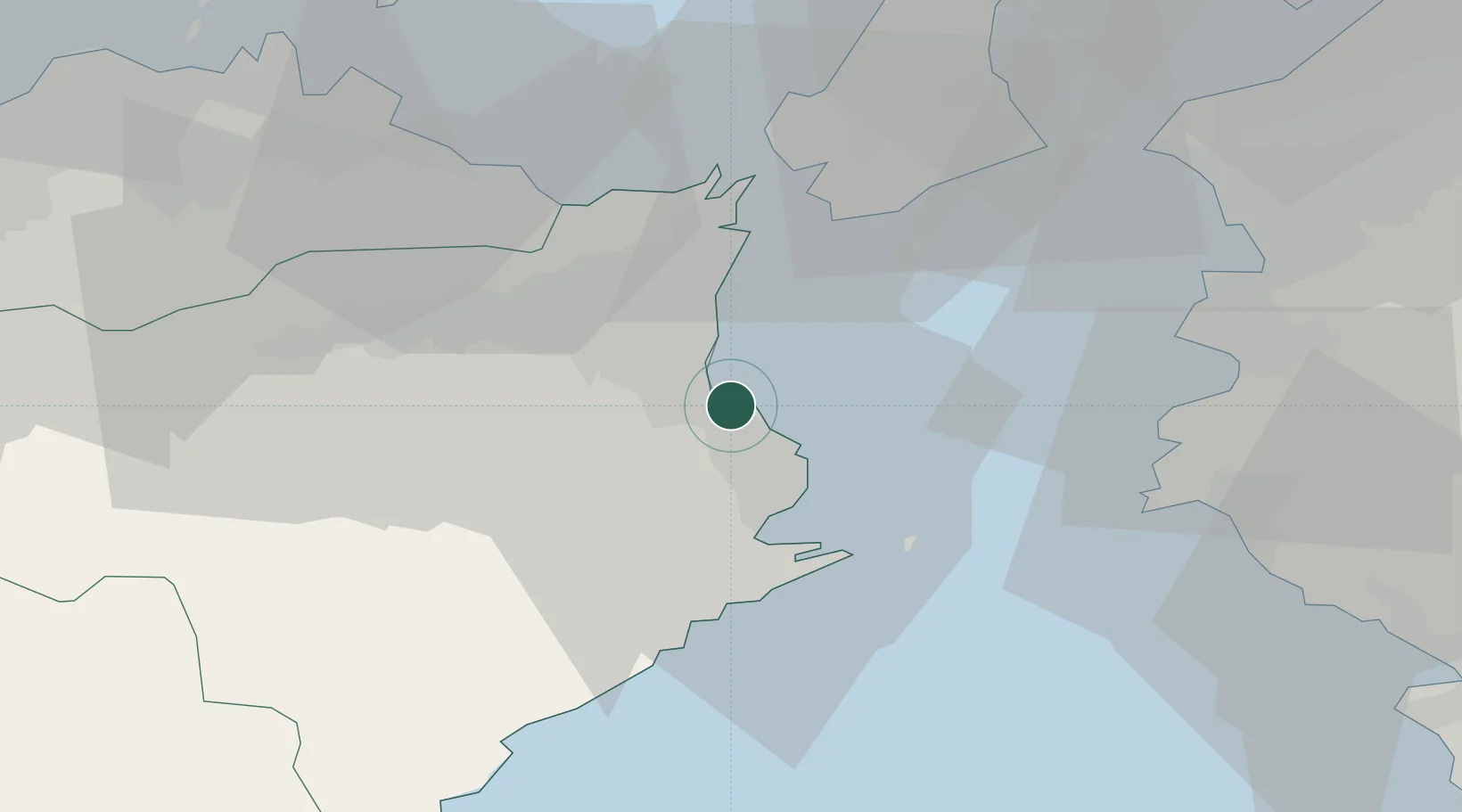
Komatsushima
33.9938°, 134.6214°
1
Transport functions
1
Container terminals
Transport Functions
Port
Hub Profile
Place type
Urban district
Region
Miyagi
Time zone
Asia/Tokyo
Elevation
52 m
Logistics facilities
1
Container terminals
1
Location
Nearby Logistics Neighbours
Cities
- 1Tokushima9 km
- 2Kamikatsu, Tokushima24 km
- 3Kamiita, Tokushima25 km
- 4Yoshinogawa Tokushima34 km
- 5Gobo Wakayama50 km
Ports
- 1Tachibana15 km
- 2Yura44 km
- 3Wakayama-Shimotsu Ko52 km
- 4Takamatsu66 km
- 5Tanabe Ko75 km
Airports
Trade Zones
DatabookThe Record of Consolidated Knowledge
Japan beyond logistics?