UN/LOCODE hub · Japan
JPYKK
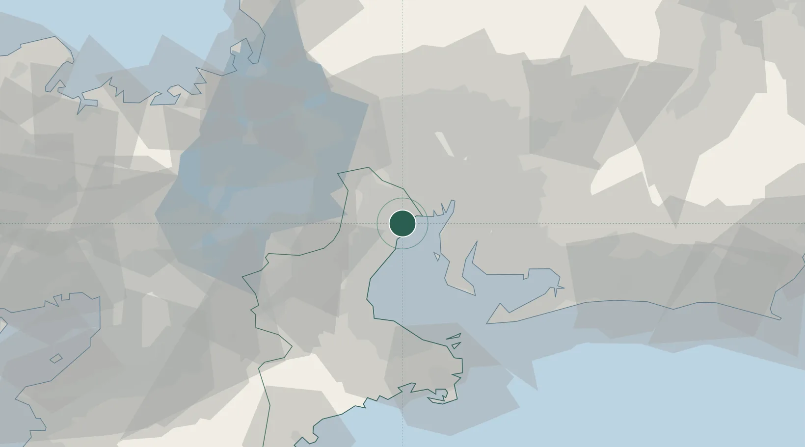
Yokkaichi
34.9955°, 136.6686°
305,424
Population
1
Transport functions
2
Container terminals
Transport Functions
Port
Hub Profile
Place type
Provincial seat
Region
Mie
Population
305,424
Time zone
Asia/Tokyo
Elevation
8 m
Logistics facilities
7
Container terminals
2
Location
Nearby Logistics Neighbours
Cities
- 1Toin, Mie11 km
- 2Nagoya, Aichi15 km
- 3Inabe16 km
- 4Aisai19 km
- 5Tsushima, Aichi20 km
Ports
- 1Nagoya Ko20 km
- 2Kinuura Ko30 km
- 3Matsusaka45 km
- 4Atsumi52 km
- 5Gamagori Ko54 km
Airports
- 1Chubu Centrair International Airport20 km
- 2Nagoya Airport / JASDF Komaki Air Base37 km
- 3Gifu Airport48 km
- 4JASDF Hamamatsu Air Base98 km
- 5Yao Airport107 km
DatabookThe Record of Consolidated Knowledge
Japan beyond logistics?