UN/LOCODE hub · Japan
JPTNC

Toin, Mie

35.0667°, 136.5833°
1
Transport functions

Transport Functions

Multimodal
UN/LOCODE

Hub Profile

Region
24
GeoNames

Location

Location of JPTNC
Natural Earth 10m (public domain) · 24 · JPTNC · 35.07, 136.58GoogleOSMYandex

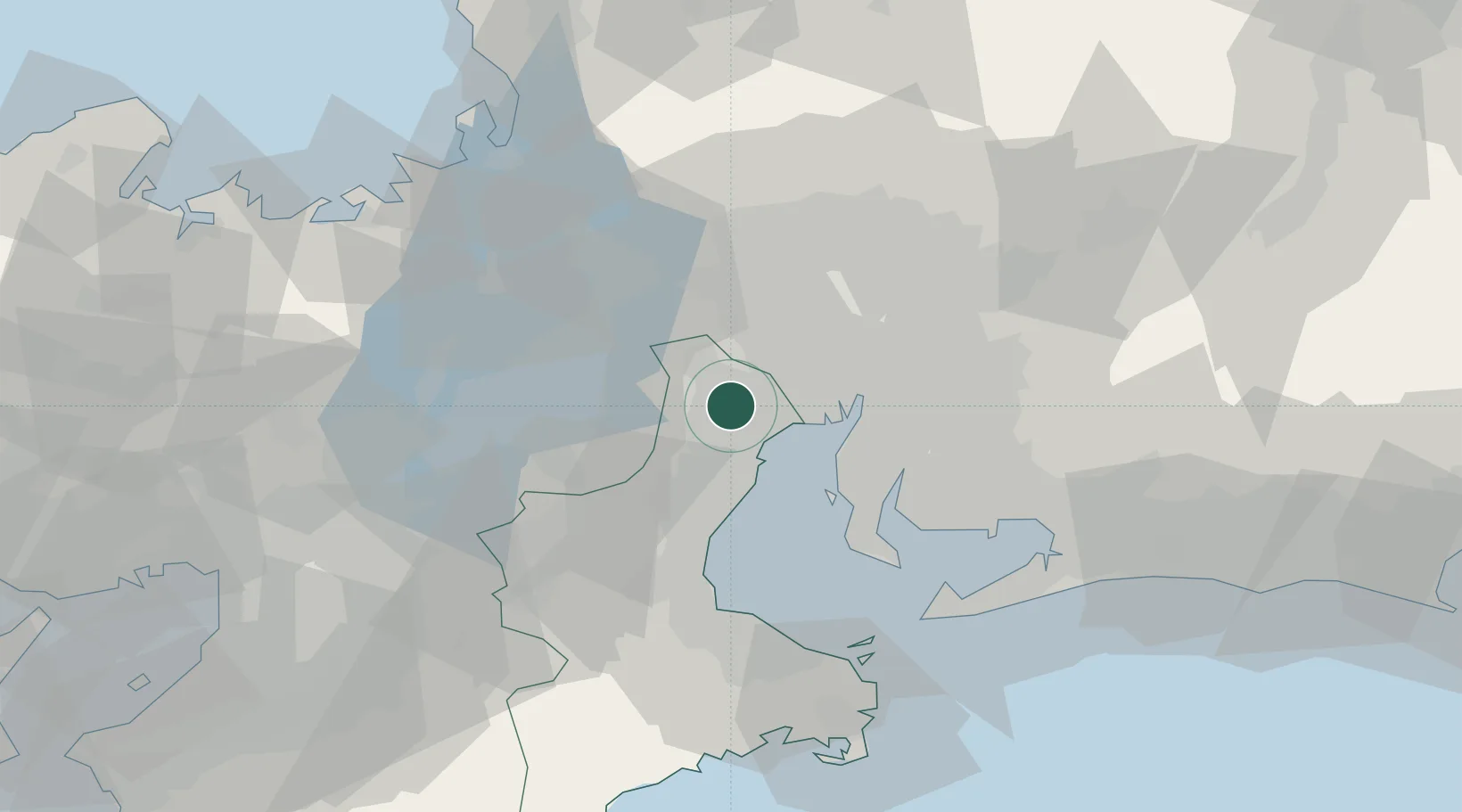
Nearby Logistics Neighbours

Cities
  1. 1Inabe6 km
  2. 2Yokkaichi11 km
  3. 3Aisai14 km
  4. 4Tsushima, Aichi17 km
  5. 5Nagoya, Aichi22 km
Nearest neighbours — logibook spatial index (haversine) over the source coordinates
Ports
  1. 1Yokkaichi12 km
  2. 2Nagoya Ko26 km
  3. 3Kinuura Ko41 km
  4. 4Matsusaka52 km
  5. 5Atsumi63 km
Nearest neighbours — logibook spatial index (haversine) over the source coordinates
Airports
  1. 1Chubu Centrair International Airport31 km
  2. 2Nagoya Airport / JASDF Komaki Air Base37 km
  3. 3Gifu Airport45 km
  4. 4Yao Airport104 km
  5. 5JASDF Hamamatsu Air Base108 km
Nearest neighbours — logibook spatial index (haversine) over the source coordinates
DatabookThe Record of Consolidated Knowledge
Japan beyond logistics?
Browse databook

All Sources

LocationsUN/LOCODE
UN/LOCODE — free
Portsthe NGA World Port Index
Public domain (US gov)
AirportsOurAirports
Public domain
Trade Zonesthe World Bank SEZ database
CC BY 4.0
Trade ZonesOpen Zone Map
CC BY
← Japan locations