Seaport · Japan
Nagoya KoJPNGO
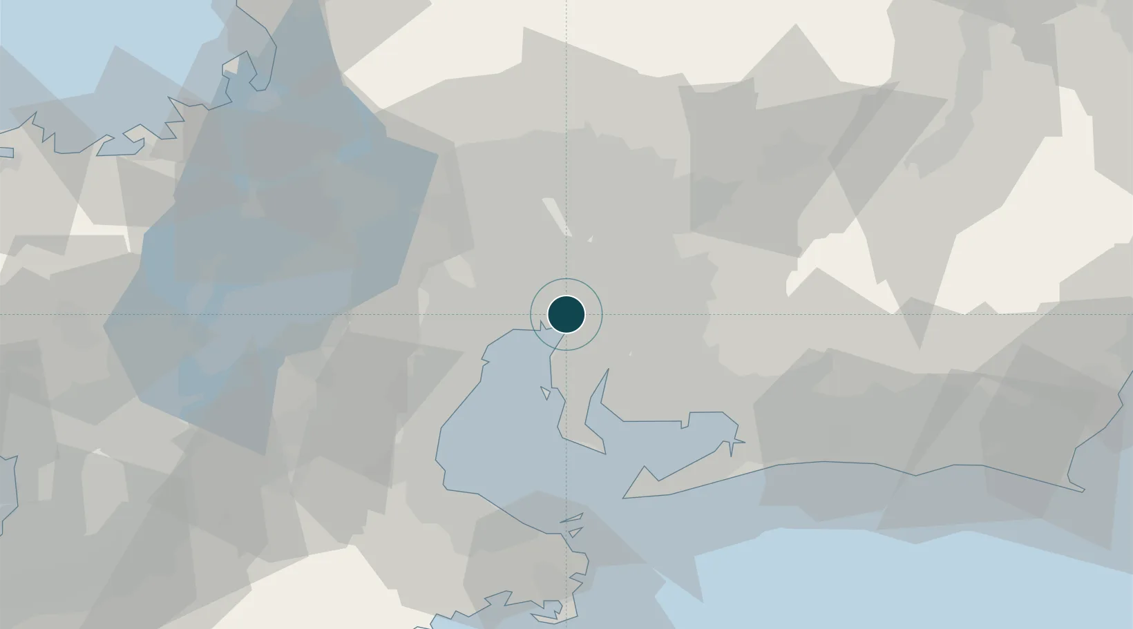
35.0667°, 136.8667°
15.5 m
Channel depth
5
Container terminals
517.5
Port liner connectivity
Channel & Berth Profile
Pilotage, Tugs & Services
Pilotage compulsoryYES
Pilotage availableYES
Pilotage advisableYES
Tug assistanceYES
Shore powerYES
Potable waterYES
Diesel bunkersYES
MedicalYES
Garbage disposalYES
Facilities & Capabilities
Container—
Ro-Ro—
Liquid bulk—
Dry bulk—
Oil terminal—
Break bulk—
Dry dockNO
RepairsNO
BunkeringYES
Rail linkYES
Dangerous cargo—
ISPS security—
Harbour Specifications
Harbour size
Large
Harbour type
Coastal (Breakwater)
Shelter
Good
Water body
Sea of Japan; North Pacific Ocean
Tidal range
2 m
Overhead limit
Yes
Pilotage
Yes
Liner Connectivity
517.5
PLSCI
Port Liner Shipping Connectivity Index for Nagoya Ko, as published by UNCTAD for the latest available quarter. Higher values indicate stronger scheduled liner-shipping integration.
Shown relative to the highest per-port PLSCI in the dataset (1,657.9).
Location
Container Terminals · 5
NCB CONTAINER TERMINAL, R1/2/3
NCB NAGOYA PORT TERMINAL CORPORATION
NABETA PIER CONTAINER TERMINAL, T1/2/3
NCT NAGOYA UNITED CONTAINER TERMINAL COMPANY CO., LTD. (NUTC)
TOBISHIMA PIER SOUTH SIDE CONTAINER TERMINAL, TS1/2
TCB TOBISHIMA CONTAINER BERTH COMPANY CO., LTD. (TCB)
TOBISHIMA PIER NORTH CONTAINER TERMINAL, W90/91/92
TNT NAGOYA PORT TERMINAL CORPORATION
TOBISHIMA PIER SOUTH CONTAINER TERMINAL, W93/94
TST NAGOYA PORT TERMINAL CORPORATION
Nearby Logistics Neighbours
Ports
- 1Yokkaichi24 km
- 2Kinuura Ko25 km
- 3Gamagori Ko42 km
- 4Atsumi48 km
- 5Mikawa56 km
Cities
- 1Obu11 km
- 2Higashiura13 km
- 3Kariya, Aichi14 km
- 4Agui Aichi15 km
- 5Nisshin16 km
Airports
DatabookThe Record of Consolidated Knowledge
Japan beyond logistics?