Channel & Berth Profile
Pilotage, Tugs & Services
Pilotage compulsoryYES
Pilotage availableYES
Tug assistanceYES
Potable waterYES
Diesel bunkersNO
MedicalYES
Facilities & Capabilities
Container—
Ro-Ro—
Liquid bulk—
Dry bulk—
Oil terminal—
Break bulk—
Dry dock—
Repairs—
BunkeringNO
Rail link—
Dangerous cargo—
ISPS security—
Harbour Specifications
Harbour size
Very Small
Harbour type
Coastal (Natural)
Shelter
Poor
Water body
Sea of Japan; North Pacific Ocean
Tidal range
2 m
Pilotage
Yes
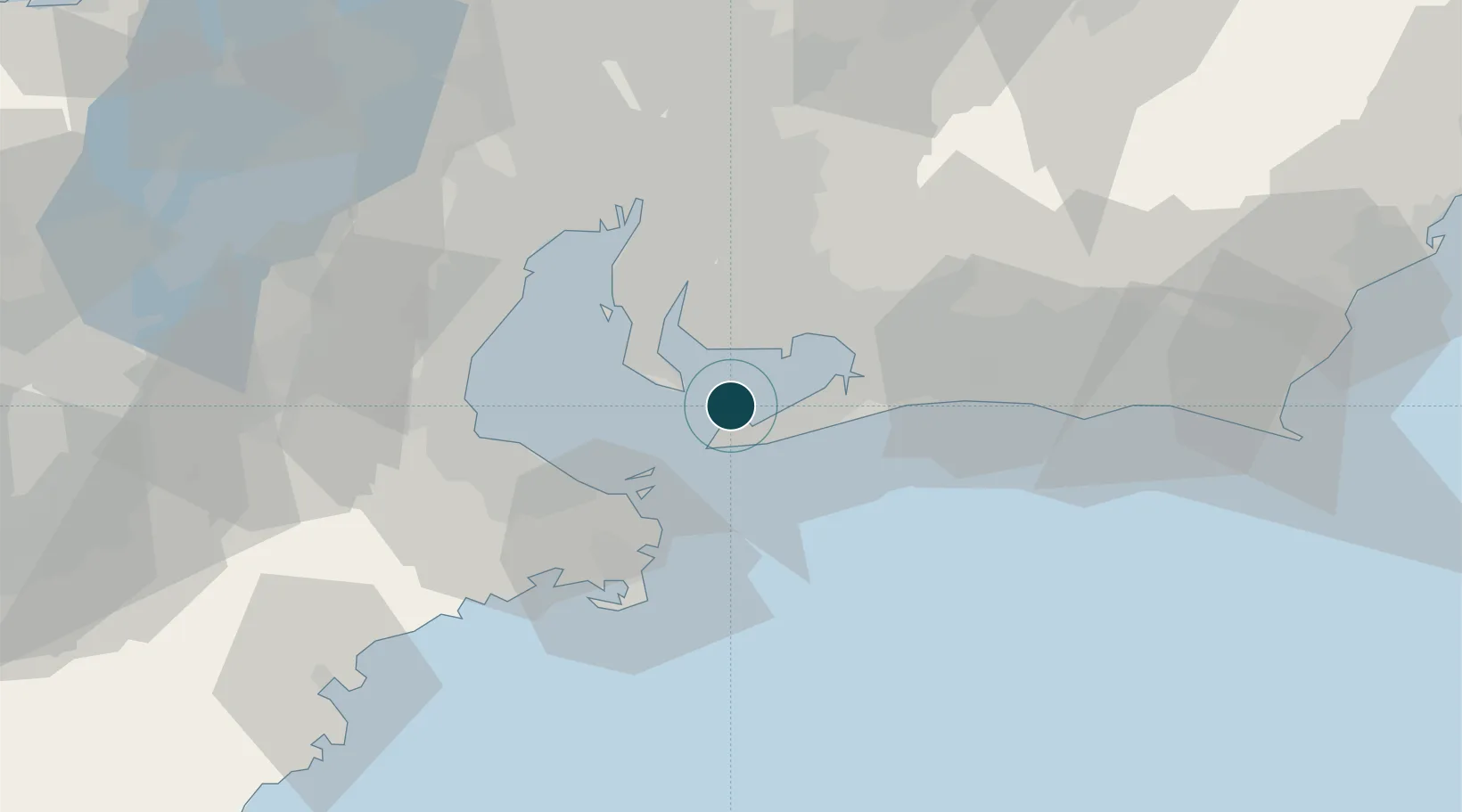
Location
Nearby Logistics Neighbours
Ports
- 1Gamagori Ko22 km
- 2Mikawa22 km
- 3Kinuura Ko23 km
- 4Toba28 km
- 5Matsusaka46 km
Cities
- 1Mihama20 km
- 2Toyohashi23 km
- 3Okazaki33 km
- 4Agui Aichi33 km
- 5Tokokawa35 km
Airports
DatabookThe Record of Consolidated Knowledge
Japan beyond logistics?