Transport Functions
Rail
Road
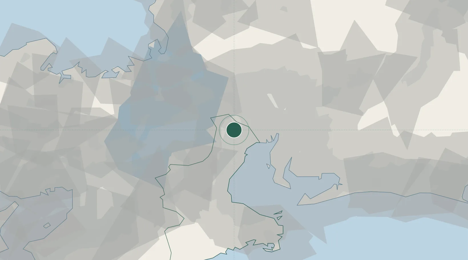
Hub Profile
Place type
Provincial seat
Region
Mie
Population
44,973
Time zone
Asia/Tokyo
Elevation
78 m
Location
Nearby Logistics Neighbours
Cities
- 1Toin, Mie6 km
- 2Aisai12 km
- 3Tsushima, Aichi15 km
- 4Yokkaichi16 km
- 5Wanouchi, Gifu20 km
Ports
- 1Yokkaichi18 km
- 2Nagoya Ko28 km
- 3Kinuura Ko46 km
- 4Matsusaka58 km
- 5Atsumi68 km
Airports
DatabookThe Record of Consolidated Knowledge
Japan beyond logistics?