Transport Functions
Multimodal
Hub Profile
Place type
Provincial seat
Region
Aichi
Population
60,829
Time zone
Asia/Tokyo
Elevation
-2 m
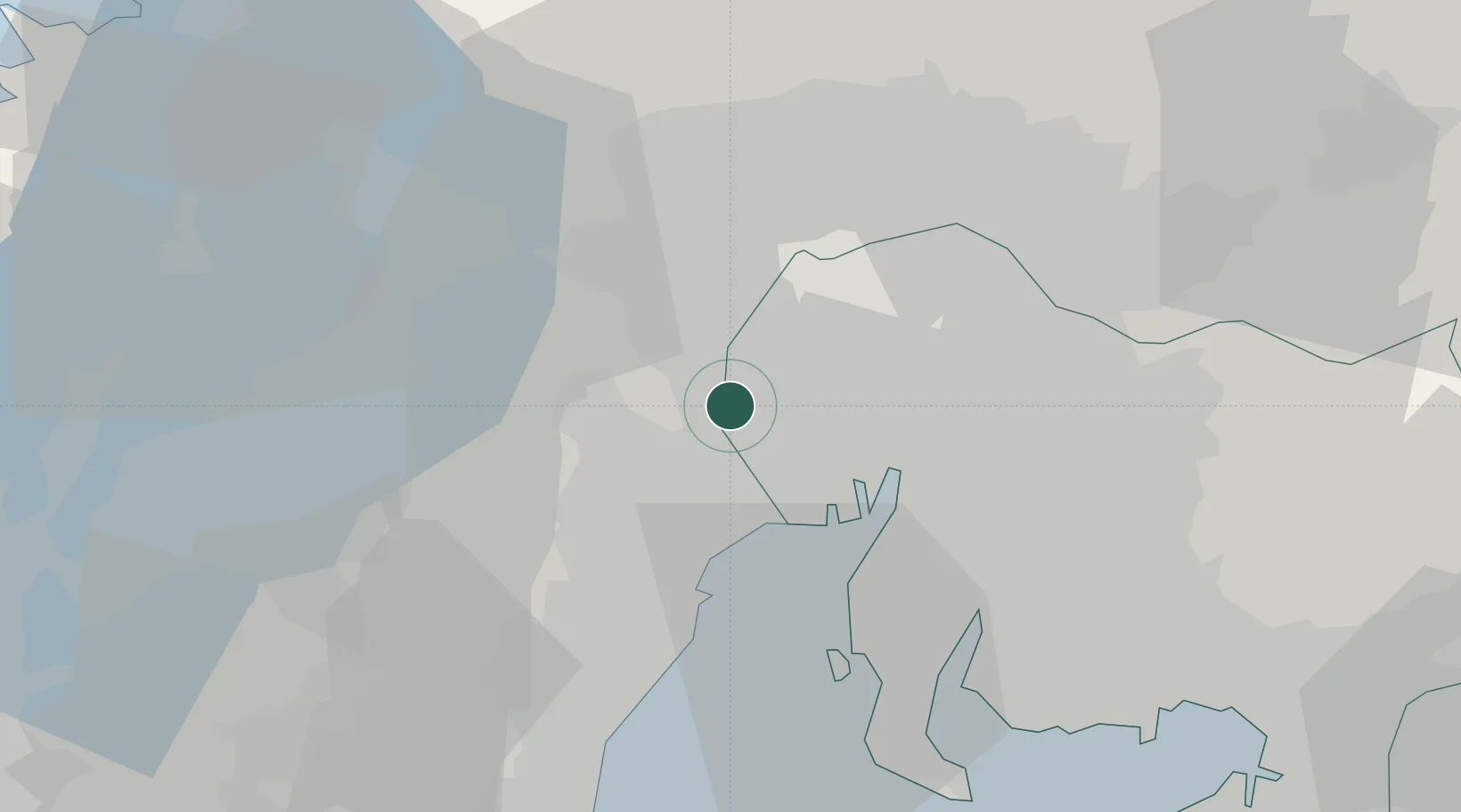
Location
Nearby Logistics Neighbours
Cities
- 1Tsushima, Aichi3 km
- 2Inabe12 km
- 3Inazawa13 km
- 4Wanouchi, Gifu14 km
- 5Toin, Mie14 km
Ports
- 1Nagoya Ko20 km
- 2Yokkaichi23 km
- 3Kinuura Ko43 km
- 4Gamagori Ko62 km
- 5Matsusaka64 km
Airports
- 1Nagoya Airport / JASDF Komaki Air Base24 km
- 2Gifu Airport30 km
- 3Chubu Centrair International Airport36 km
- 4JASDF Hamamatsu Air Base104 km
- 5Fukui Airport116 km
DatabookThe Record of Consolidated Knowledge
Japan beyond logistics?