Transport Functions
Multimodal
Hub Profile
Region
23
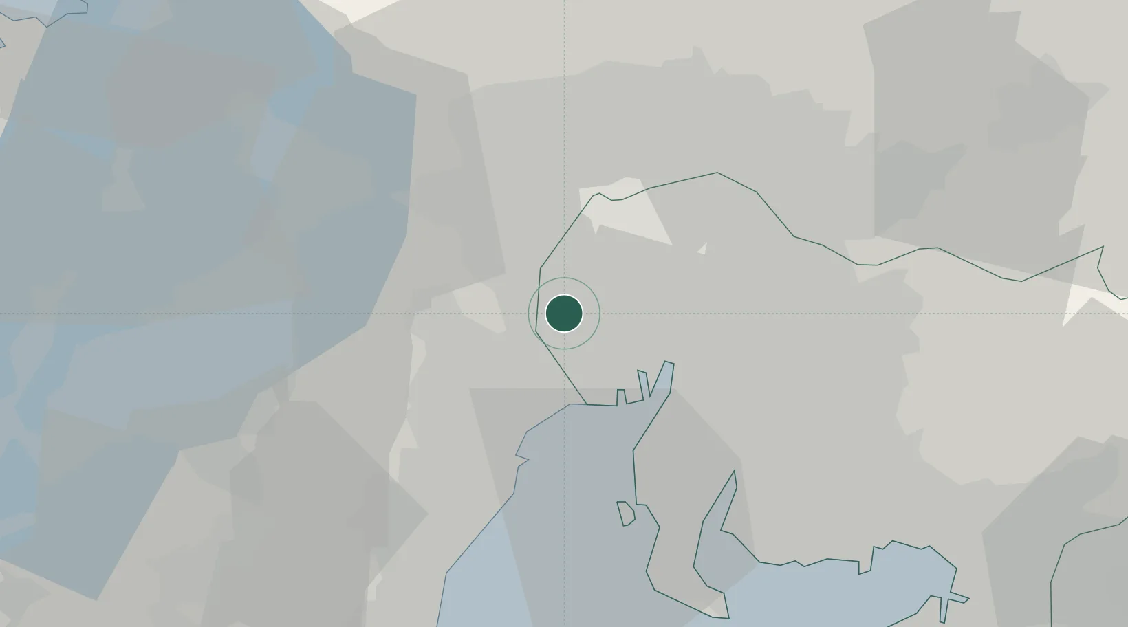
Location
Nearby Logistics Neighbours
Cities
- 1Aisai3 km
- 2Inazawa11 km
- 3Kiyosu Aichi12 km
- 4Kitanagoya14 km
- 5Inabe15 km
Ports
- 1Nagoya Ko18 km
- 2Yokkaichi24 km
- 3Kinuura Ko41 km
- 4Gamagori Ko60 km
- 5Atsumi64 km
Airports
- 1Nagoya Airport / JASDF Komaki Air Base21 km
- 2Gifu Airport29 km
- 3Chubu Centrair International Airport35 km
- 4JASDF Hamamatsu Air Base101 km
- 5Fukui Airport117 km
DatabookThe Record of Consolidated Knowledge
Japan beyond logistics?