UN/LOCODE hub · Japan
JPNGO
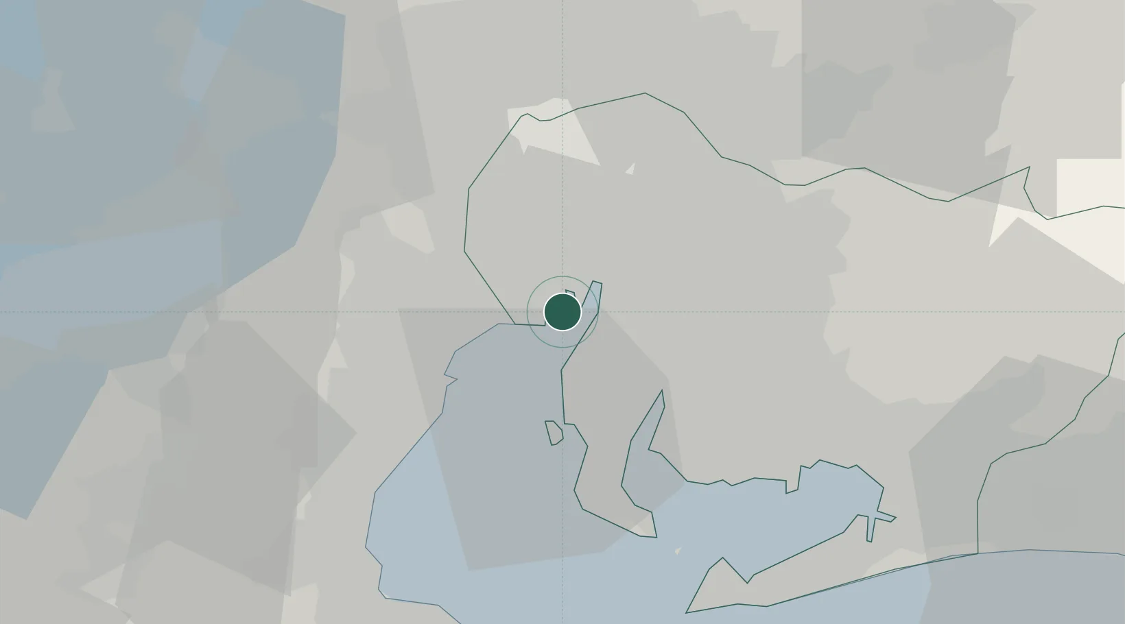
Nagoya, Aichi
35.0451°, 136.8252°
3
Transport functions
5
Container terminals
Transport Functions
Port
Airport
Postal
Hub Profile
Region
23
Logistics facilities
27
Container terminals
5
Location
Nearby Logistics Neighbours
Cities
- 1Obu13 km
- 2Agui Aichi14 km
- 3Higashiura15 km
- 4Yokkaichi15 km
- 5Kariya, Aichi16 km
Ports
- 1Yokkaichi20 km
- 2Kinuura Ko25 km
- 3Gamagori Ko44 km
- 4Atsumi48 km
- 5Matsusaka55 km
Airports
- 1Chubu Centrair International Airport21 km
- 2Nagoya Airport / JASDF Komaki Air Base25 km
- 3Gifu Airport39 km
- 4JASDF Hamamatsu Air Base87 km
- 5Yao Airport122 km
DatabookThe Record of Consolidated Knowledge
Japan beyond logistics?