Transport Functions
Multimodal
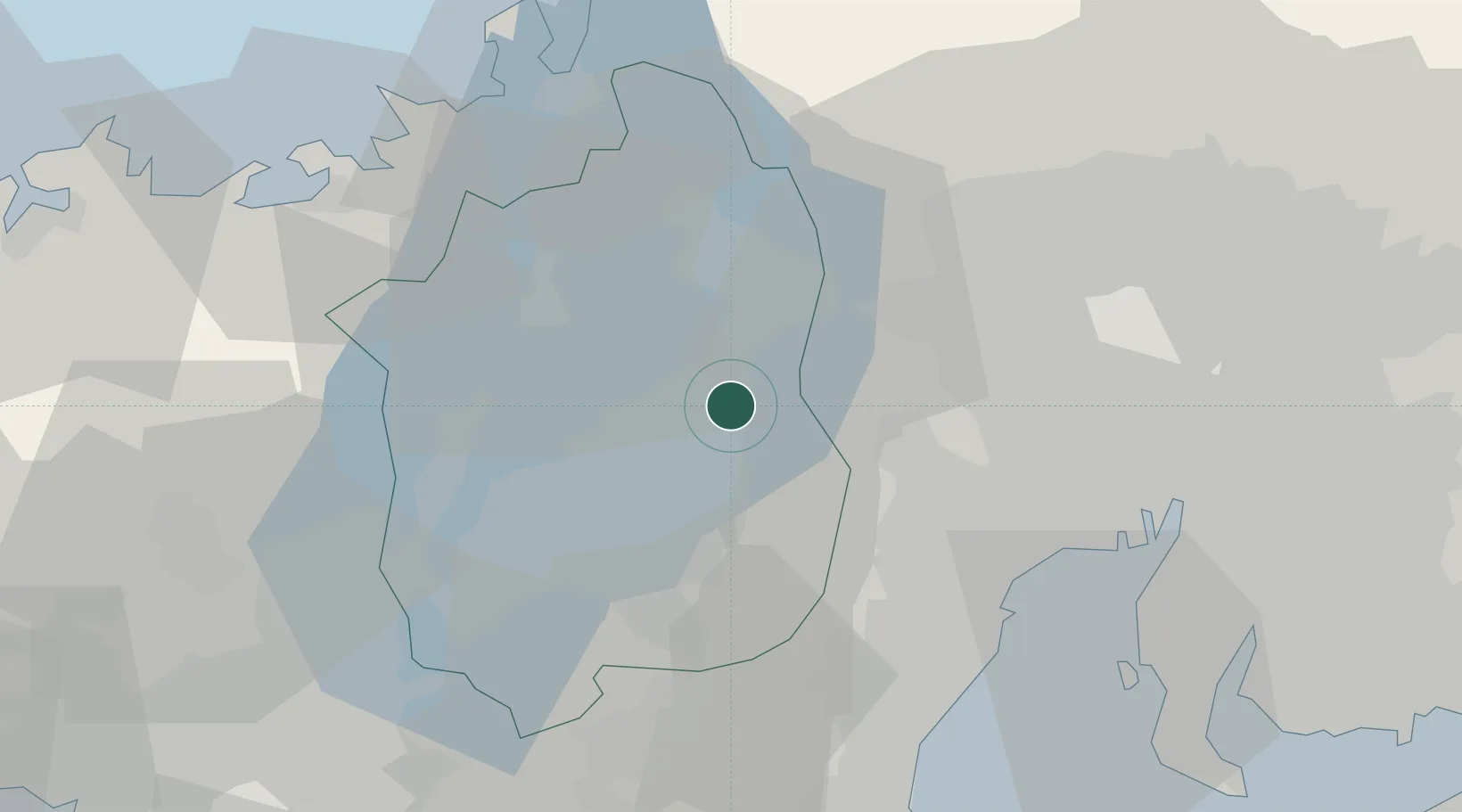
Hub Profile
Place type
Populated place
Region
Shiga
Population
7,274
Time zone
Asia/Tokyo
Elevation
122 m
Location
Nearby Logistics Neighbours
Cities
- 1Maibara11 km
- 2Takashima16 km
- 3Higashiomi17 km
- 4Yoro26 km
- 5Inabe28 km
Ports
- 1Yokkaichi42 km
- 2Tsuruga Ko52 km
- 3Nagoya Ko56 km
- 4Kinuura Ko73 km
- 5Matsusaka73 km
Airports
Trade Zones
DatabookThe Record of Consolidated Knowledge
Japan beyond logistics?