Transport Functions
Rail
Road
Hub Profile
Place type
Provincial seat
Region
Shiga
Time zone
Asia/Tokyo
Elevation
172 m
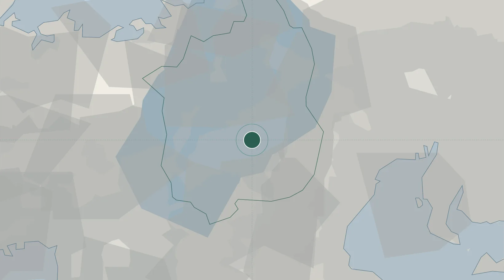
Location
Nearby Logistics Neighbours
Ports
- 1Yokkaichi45 km
- 2Tsuruga Ko62 km
- 3Nagoya Ko64 km
- 4Matsusaka67 km
- 5Uchiura76 km
Airports
Trade Zones
DatabookThe Record of Consolidated Knowledge
Japan beyond logistics?